Secure and future-proof software for the challenges of the energy transition
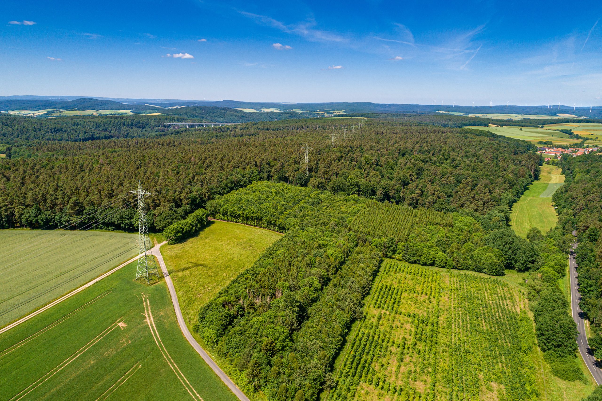
With the two SuedLink projects V3 & V4, the transmission system operators TenneT and TransnetBW are driving forward one of the pivotal infrastructure projects of the energy transition in Germany. SuedLink is an ambitious undertaking that encompasses the planning and construction of a route for high-voltage direct current transmission lines. These two underground lines, which extend approximately 700 kilometers, will be used to transport wind power bidirectionally between northern and southern Germany and will have a total capacity of four gigawatts.
The Challenge:
WebGIS acts as a central platform for the provision of spatial information throughout the entire planning process. The tried-and-tested WebGIS solution from VertiGIS has been used in multiple projects over the years. With the switch to VertiGIS Studio, network operators are ensuring that they have access to the most modern software available on the market, enabling them to meet new long-term requirements.
As the project is being implemented nationwide, the different legal frameworks of the individual federal states must be taken into account. It was therefore crucial for the grid operators to find a software solution that could map these requirements. In addition, a solution was sought that could reliably integrate and evaluate external information, such as environmental regulations and feedback from the public. Additionally, a modern information system that could display construction progress in a simple and comprehensible way was also needed.
The Solution:
VertiGIS has successfully implemented WebGIS solutions as a map-based online planning tool for the SuedLink project. The switch to VertiGIS Studio ensures that all future requirements are met with modern software. The VertiGIS Studio modules Web, Workflow, Printing, Mobile, Reporting, Access Control and Search will be used. In the medium term, the use of VertiGIS Studio Analytics and VertiGIS Studio Inline is also planned.
The combination of VertiGIS Studio Mobile for offline-capable field data acquisition with VertiGIS Studio Workflow enables guided interactions for almost any process. For example, the field recording tool supports regional planning offices in the efficient recording of crossings along infrastructure projects.
Citizens have access to a modern information system that presents the current construction progress along the route clearly and comprehensibly at all times. A comprehensive range of information is also available, in order to meet the wishes of many citizens for transparency and participation. At the same time, the project managers fulfill their duty to provide status updates in the best possible way.
For the special requirements of SuedLink, the HSE (Health Security Application) app based on VertiGIS Studio will illustrate the quickest route to healthcare facilities such as defibrillators.
VertiGIS is responsible for the WebGIS infrastructure throughout the entire process and will oversee its operation, support and maintenance.
The Result:
The WebGIS solutions from VertiGIS enable modern, map-based online planning in the SuedLink project. With VertiGIS Studio, specific requirements and workflows can be integrated directly into the WebGIS in future. The system offers real-time visualization of the current planning status and all relevant criteria. It also enables local authorities, authorities, associations and citizens to view and submit comments. The cooperation and support provided by VertiGIS ensures legally compliant and efficient planning for this major project.