


The no-code rules-engine to automatically check, control and transform your data.
VertiGIS 1Integrate
BOOK A SOFTWARE DEMO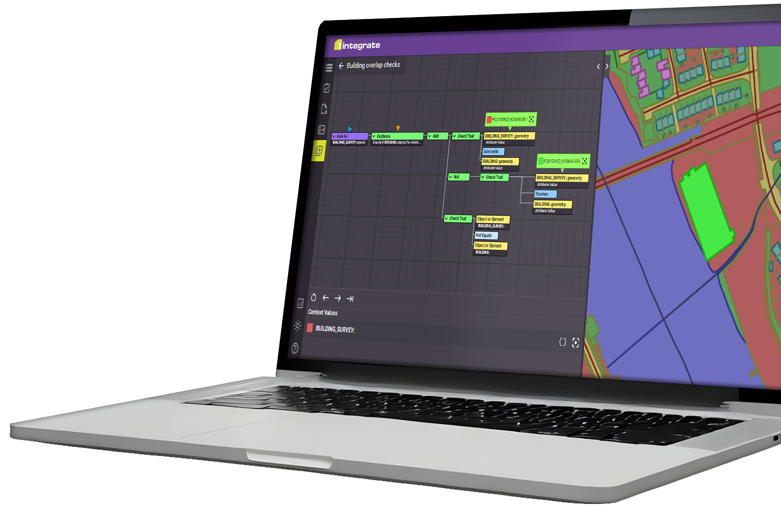
Whether you’re managing utility networks, analysing environmental patterns, or optimising transportation routes, accurate and reliable geospatial data is critical. VertiGIS 1Integrate ensures data quality and compliance through automation for confident decision making.
Voted Best Geospatial Data Integration Software – Solutions Review
Key Features
Validate data, deliver consistency
Take control of your spatial and non-spatial data by using the precision of VertiGIS 1Integrate’s rule engine.
Use the power of rules-based validation to ensure your newly captured or legacy data is up to the standards you need, with consistency being maintained in data across your workflows.
Remove your data silos and avoid creating new ones with the powerful built-in integration tooling:
- Integrate and conflate your newly captured or existing siloed data into single datasets
- Wide-ranging support for industry-leading formats, including ArcGIS and Google Biq Query
- Define inputs and outputs to and from different formats and datastores, giving you the flexibility to deal with data as your requirements change
- Compare two sources of similar information to extract the best of both, and create a single source of truth for your data
Correct data, reduce costs
Incorrect data can mean costly mistakes. The wrong location for a dig-site, underestimating the size of a job or planning implications can all damage your business operations.
VertiGIS 1Integrate’s ability to highlight and fix geometries and attributes using tasks enables you to remain confident that your data is conforming to the standards you set or your regulatory requirements.
- Fix geometry and attribution errors such as overlaps, spikes, and misclassification or incorrect connections between features
- Automate the correction of invalid data through rules-based tasks
- Ensure your data is correct when it reaches a master data source, stopping costly data mistakes and fixing it in preparation for migration from one system to another
- Identify hidden problems and fix them before they become an issue to ensure that your data is right first time
- Snapping capabilities in VertiGIS 1Integrate detect, and fix geometry errors using tolerances you define
Transform and enhance data
Transform and enhance your data to keep up with evolving business needs and standards. No data is right forever; requirements evolve, and your tools need to respond to newly captured data and methods.
With VertiGIS 1Integrate, there is no need to change your source data to derive new products, as you can automate the transformation of schematics, generalisation and restructuring, which can be pushed into your analysis tooling.
- Transform data into new or different structures, enabling intelligent rules-based decisions on how to break up, merge or classify features during the transformation
- Create new features and attributes intelligently without having to go into the source dataset and make additions manually, all according to your business needs
- Infer the location or existence of new features/attributes to enrich your data offering, create new solutions or avoid costly site visits
- Shifting Data for positional improvement
- Generate new data products to ensure continuous synchronisation with the source data, such as simplified, generalised, and schematised data
- Transform your data in preparation for migration from one system to another
Automate your data processing
Though ensuring the data you use is correct and fit for purpose is important, it can be time-consuming. We understand that time is valuable, and VertiGIS 1Integrate’s automation capabilities give you the confidence to let the engines do the work.
- Automate the correction of invalid data
- Automate the integration or transformation of datasets
- Automate the creation and update of datasets
- Apply business rules automatically to spatial and non-spatial data
- Automate your workflows by defining multiple VertiGIS 1Integrate data stores that access the same data using data mapping
- Partition your spatial data to automate large scales at low processing cost
- Streamline tasks in the specialised “Production Mode” for fast and efficient automation
Scale and expand
Grow capabilities alongside your workforce with flexible scaling to ensure workflows are resilient and won’t be impacted as you expand. VertiGIS 1Integrate has the capability to support as many Engines as you need, allowing VertiGIS 1Integrate to scale with your needs, scaling ‘out’ rather than ‘up’.
VertiGIS 1Integrate is a scalable server-based application, meaning you can access it via a web browser or a web services API.
Rules are stored as JSON in an open, transferable knowledge base, allowing users across your enterprise the ability to collaborate using an evolving and maintainable rule set.
- The object-oriented cache allows for scalable performance for spatial and non-spatial inter-feature checks compared to a relational database
- Grid processing delivers flexibility and resilience to your workforce as processing power can be centrally managed and a browser-based interface, also add unlimited “engines” to the grid to scale up processing power
- VertiGIS 1Integrate is accessible via a web app that doesn’t have to be on the same machine or server as the hard processing
- Extensive API calls mean that VertiGIS 1Integrate can be embedded within a larger system into your workflows with business growth and evolution

Flexible Deployment: SaaS, On-Premise or Hybrid
In addition to making sure the 1Spatial Platform has the right technical functionality, we also ensure our customers can access it in a fast, secure and cost-effective way. Cloud deployment means customers can get access to our software and tools almost instantly.
If you need to deploy within your own secure enterprise infrastructure, our software is designed to support you. All of our Location Master Data Management (LMDM) components are built to support a full range of architectures.
The benefits of a rules-based approach
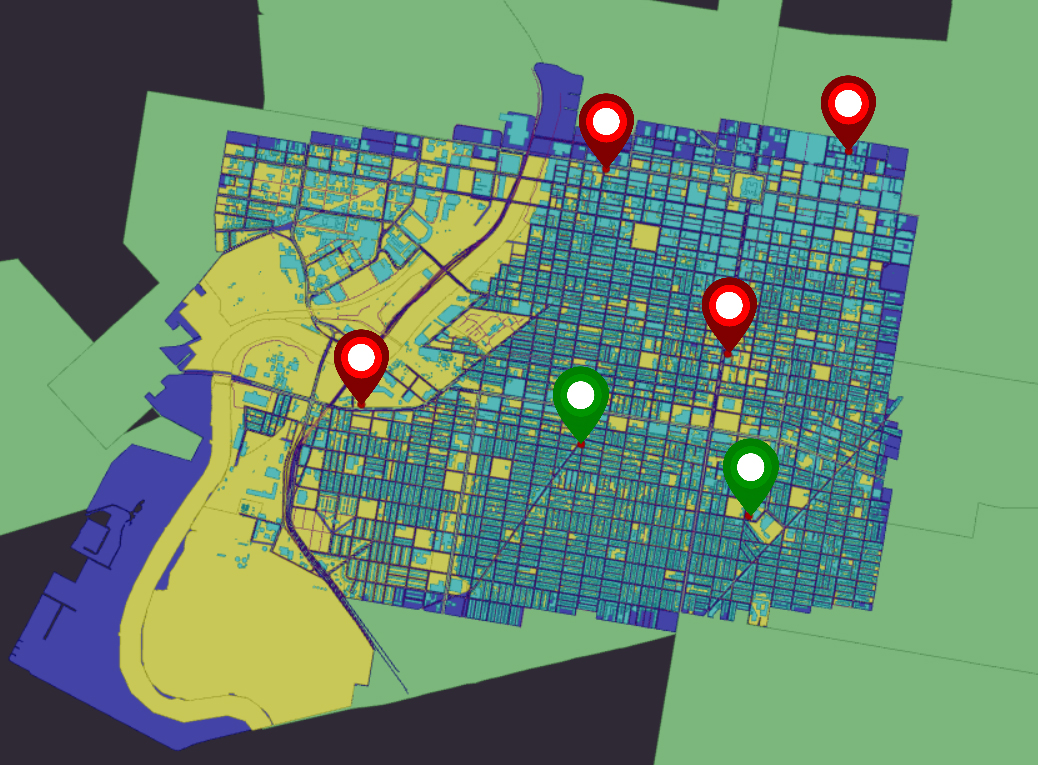
A rules-based approach can give you a simple, flexible and transparent way to measure and improve your data quality.
Rules tells us if something is true (valid) or false (not valid). It is easy to trace, as it is always represented by a precise logical condition.
Discover more geospatial data services
Give your teams and data providers a simpler way to check, correct, and prepare location data. The Geospatial Data Validation Hub (GDV Hub) is a web-based, self-service solution that validates spatial and non-spatial data against your organization’s standards and business rules, so you can rely on data that is complete, consistent and ready for use.
Key benefits:
- Validate data against configurable standards and rules.
- Automate common corrections and improvements.
- Work across data sources and formats without tying the validation process to a single software platform.
- Create a consistent, transparent process for all stakeholders.
- Leverage as a SaaS-based solution.
Talk to our team
Align existing location data with a more accurate base map while protecting the geometry, connectivity and relationships that your operations depend on. VertiGIS Positional Accuracy Improvement (PAI) uses rules-based processing and intelligent transformation algorithms to adjust the position of features and vertices with greater control and confidence.
Key benefits
- Improve the alignment of existing assets and features.
- Use existing shift vectors or generate new ones from original and revised base datasets.
- Identify anomalies before transformation.
- Apply context-sensitive transformations.
- Validate results after processing to confirm quality.
Talk to our team
Are you moving to the ArcGIS Utility Network (UN)? The quality of your source data, the design of your target model and the confidence you build through testing all play an important role in a successful migration. VertiGIS Utility Network Services support the migration journey from initial data assessment through to validation of the target Asset Package.
- Assess existing network data and identify the quality issues that could affect your Utility Network migration.
- Move source data into an Asset Package to support a more iterative and manageable migration process.
- Validate the Asset Package against data-quality requirements and your configured Utility Network rules.
Talk to our team
Ready to Harness the Power of Your Spatial Data?
Discover our software solutions
Our experts will help you solve your industry-specific challenges.
Tell us a little about yourself and we will be in touch with you soon!