


The VertiGIS Data Platform helps organizations manage geospatial asset information as a trusted, governed, and single source of truth.
One trusted foundation for all your critical asset data.
Say goodbye to fragmented systems, inconsistent records, and siloed workflows.
Manage your infrastructure and asset information in a centralized geodatabase that acts as your authoritative system of record, so data stays accurate, well governed, and easy to access across the organization.
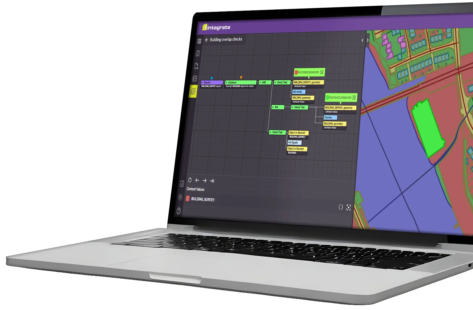
Use automated validation rules and business logic to detect errors, enforce standards, and maintain consistent data before it flows into downstream systems, reporting, and analytics.
Combine and reconcile data from field surveys, third-party datasets, and legacy systems into a single, enriched spatial record.
Continuously prepare geospatial data so it is clean, consistent, and structured for AI-driven workflows when you need it.
Create a seamless flow between your core data and the tools your teams rely on every day, from field operations to planning, maintenance, and management systems.
Connect data governance processes directly to planning, field operations, and day-to-day decisions so compliance and operational performance reinforce each other.
Accurate data for confident decision making
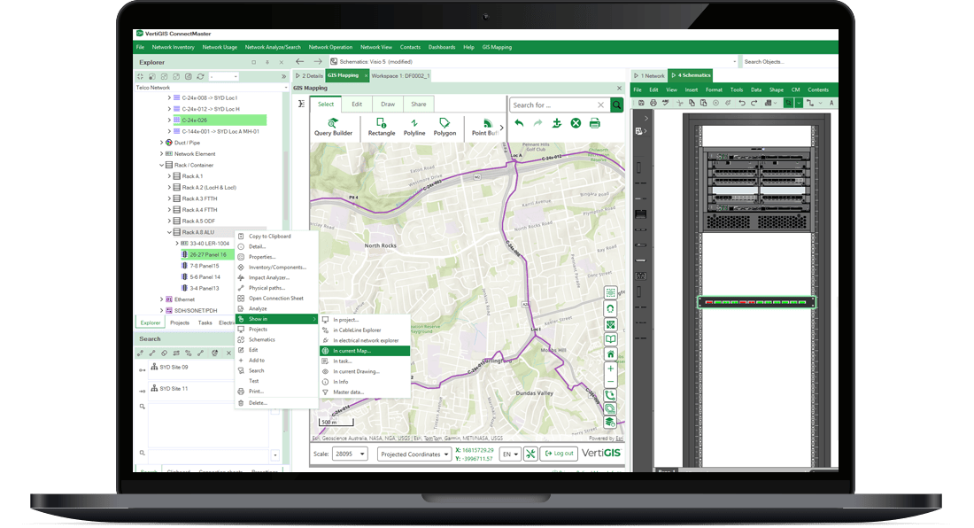
Keep your asset data accurate and current, then put it to work straight away. The VertiGIS Data Platform lets you visualise, analyse, and act across your organisation — without switching between systems or second-guessing the data behind your decisions.
Go beyond simply maintaining datasets. Take active control of your infrastructure, networks, and resources, connecting spatial records to the asset lifecycle decisions that matter most.

Connected workflows, better results
When your data, systems, and teams move together, the impact compounds. The VertiGIS Data Platform ties your spatial records to the workflows that drive real outcomes, reducing duplication, improving response times, and giving decision-makers a clear view across the entire operation.
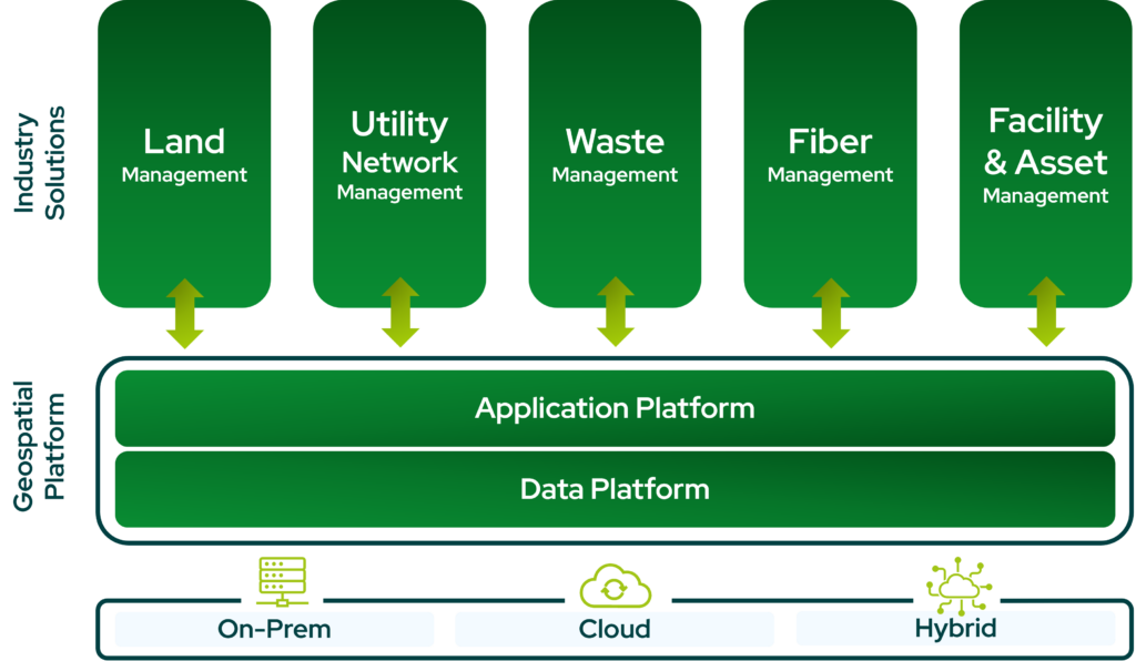
The right solution for your industry.The right platform underneath it all.
VertiGIS delivers applications built around the workflows your teams actually run, while leveraging your accurate, governed, and AI-ready geospatial data. Tools built for utilities, telecoms, public sector, and more, with room to for customization and flexibility.
Ready to Harness the Power of Your Spatial Data?
Discover our software solutions
Our experts will help you solve your industry-specific challenges.
Tell us a little about yourself and we will be in touch with you soon!