


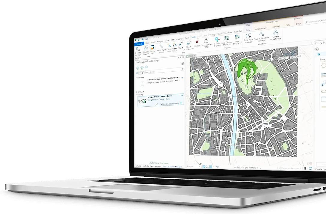
The VertiGIS application platform gives your teams a low-code/no-code way to create industry-specific geospatial web and mobile applications built around real workflows. Deploy them quickly, integrate them into your existing enterprise environment, and start seeing value sooner. Best of all, you can do it without waiting on scarce developer resources.
Skip the costly custom development.
Build, deploy, and maintain with ease.
The VertiGIS Application Platform empowers organizations to build, deploy, and manage geospatial applications from a single, unified environment. Say goodbye to fragmented development processes, inconsistent application experiences, and siloed tools.
Build sophisticated GIS applications without writing extensive custom code. The platform’s “clicks, not code” approach reduces development time and costs by putting hundreds of ready-to-use tools in the hands of your teams and removes the dependency on specialists for every change.
Use automated validation rules and business logic to detect errors, enforce standards, and maintain consistent data before it flows into downstream systems, reporting, and analytics.
AI features enable administrators to create custom tools and workflows simply by describing them in plain language. From automated error analysis to smart configuration support and natural-language spatial queries, AI works within your existing environment, securely and transparently.
Geospatial data shouldn’t exist in silos. The VertiGIS Application Platform integrates directly with your ERP, EAM, BIM, CMS, and business intelligence systems. By centralising your data in one place, you eliminate the manual processes that slow down critical decisions.
Deploy the way that works best for your organization, with SaaS, on-premises, or hybrid cloud options. Native mobile support extends your applications to field teams on iOS, Android, and Windows, featuring full offline capability to keep work moving without interruption.
Extend and enhance Esri’s ArcGIS platform, giving your team more power without leaving the ecosystem you already rely on. Whether you’re using ArcGIS Online, Enterprise, or a hybrid setup, VertiGIS sits seamlessly on top, unlocking advanced functionality for web, desktop, and mobile.

Build and configure your geospatial tech stack.
The VertiGIS Application Platform delivers a comprehensive suite of configurable capabilities that work independently, or as one unified solution. Built on a low-code/no-code environment, your teams can configure applications, adapt workflows, and integrate with existing enterprise systems.
Whether deploying web mapping tools, offline field applications, or enterprise-connected reports, the platform adapts to your needs. With hundreds of ready-to-use tools, you spend less time building and more time delivering results.

An Esri Platinum Partner
VertiGIS is Esri’s largest Platinum Partner, a relationship built over more than 20 years of shared development, strategic alignment, and deep integration. The VertiGIS application platform is purpose-built for ArcGIS Online and ArcGIS Enterprise, evolving in lockstep with the Esri ecosystem so your investment stays protected.
Your existing web maps, feature layers, and security infrastructure carry over seamlessly. There’s no starting from scratch. And because the platform extends ArcGIS rather than replace it, your organization gains additional capability without additional complexity, both now, and as your needs grow.
The right solution for your industry.The right platform underneath it all.
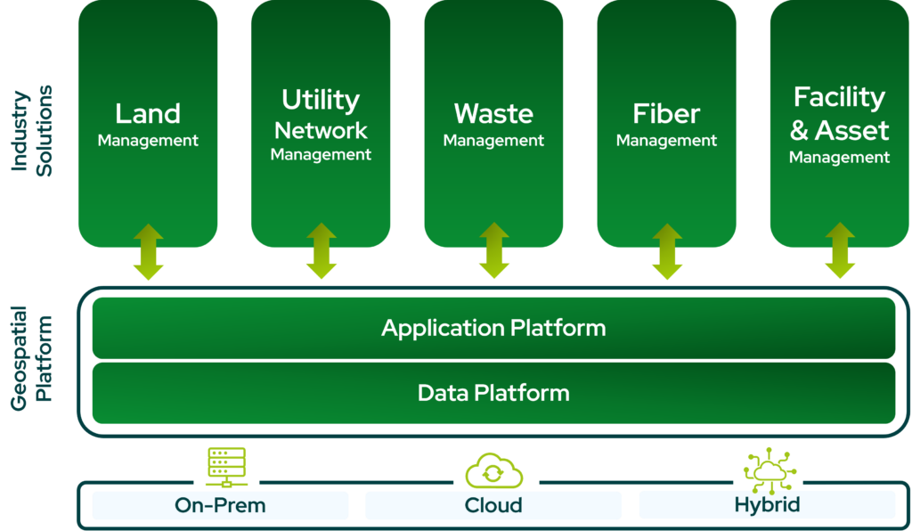
VertiGIS delivers applications built around the workflows your teams actually run, while leveraging your accurate, governed, and AI-ready geospatial data. Tools built for utilities, telecoms, public sector, and more, with room to for customization and flexibility.
Ready to Harness the Power of Your Spatial Data?
Discover our software solutions
Our experts will help you solve your industry-specific challenges.
Tell us a little about yourself and we will be in touch with you soon!