


A powerful enterprise foundation for geospatial solutions.
VertiGIS Geospatial Platform
Request a Demo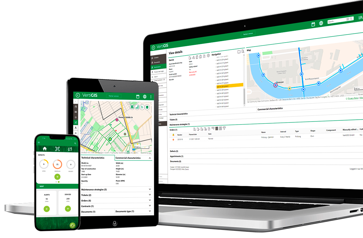
The VertiGIS Geospatial Platform helps organizations move faster and operate more efficiently. Its low-code/no-code framework makes it easy to configure applications around existing business processes without extensive custom development. Supported by built-in data quality, validation, and governance capabilities, the platform helps ensure geospatial information remains accurate, consistent, and ready to support analytics, automation, and AI-driven workflows.
Move faster, work smarter
Your data and apps in one place.
With 20+ years of industry experience behind it, VertiGIS empowers you to unlock the full potential of your geospatial data.
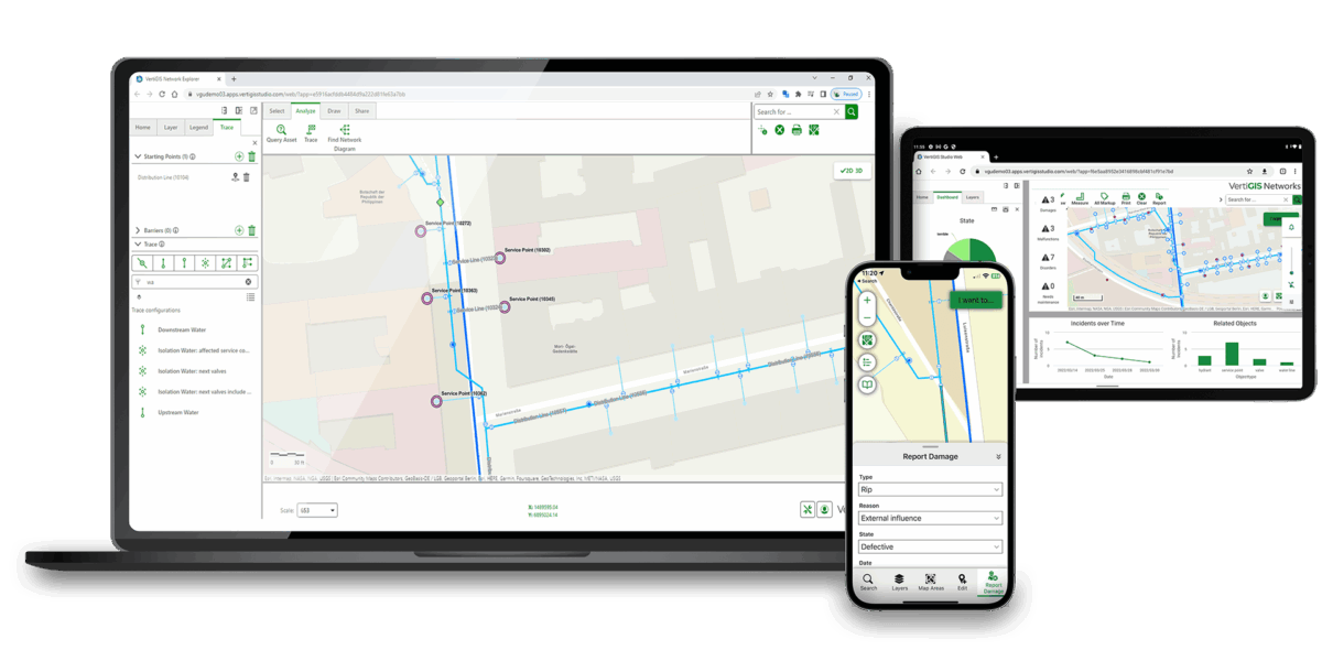
Build and adapt geospatial web and mobile applications quickly through a low-code/no-code framework that reduces time to deployment and increases your team’s capabilities.
Increase confidence in every decision with data validation, governance, and workflow controls that support accurate, consistent geospatial information and create a trusted foundation for analytics, automation, and AI.
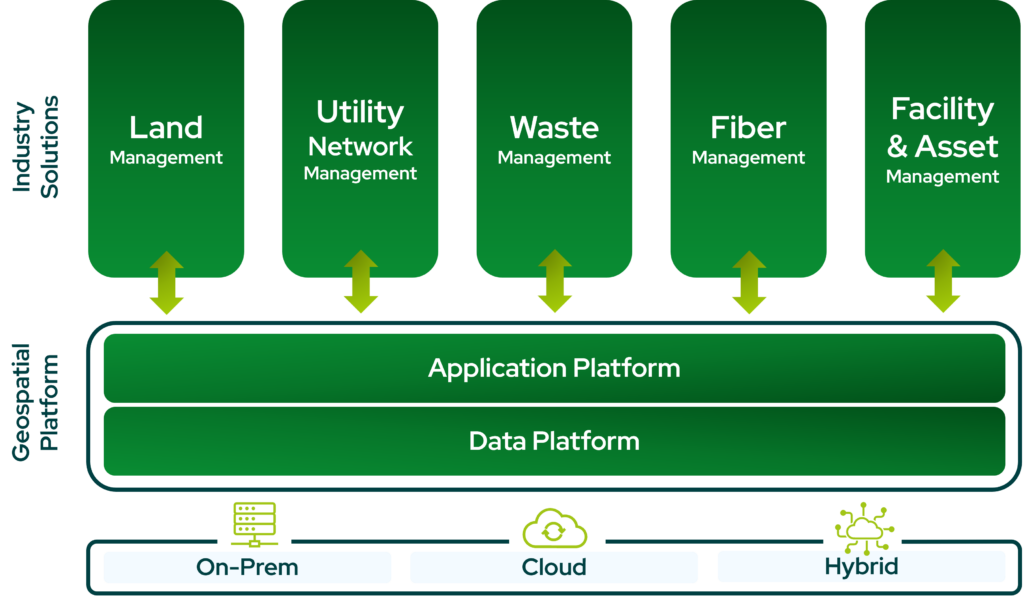
Choose cloud, on-premises, or hybrid deployment models that align with your organization’s operational, security, and infrastructure requirements.
Our geospatial ecosystem
Explore what VertiGIS has to offer to get the most out of your geospatial data and your applications.
Data Platform Application PlatformThe right solution for your industry.The right platform underneath it all.
VertiGIS delivers applications built around the workflows your teams actually run, while leveraging your accurate, governed, and AI-ready geospatial data. Tools built for utilities, telecoms, public sector, and more, with room for customization and flexibility.
Ready to Harness the Power of Your Spatial Data?
Discover our software solutions
Our experts will help you solve your industry-specific challenges.
Tell us a little about yourself and we will be in touch with you soon!