











Enterprise GIS and Geospatial Solutions
Put Our Industry-Leading Geospatial Solutions to Work for You.
Optimize the geospatial data essential to critical infrastructure management.
Enable AI by unlocking the structured and unstructured data key to its success.
Embed vertical-specific applications into enterprise workflows to solve real industry challenges.
Drive measurable outcomes through improved efficiency, productivity, and insight.
What does VertiGIS do?
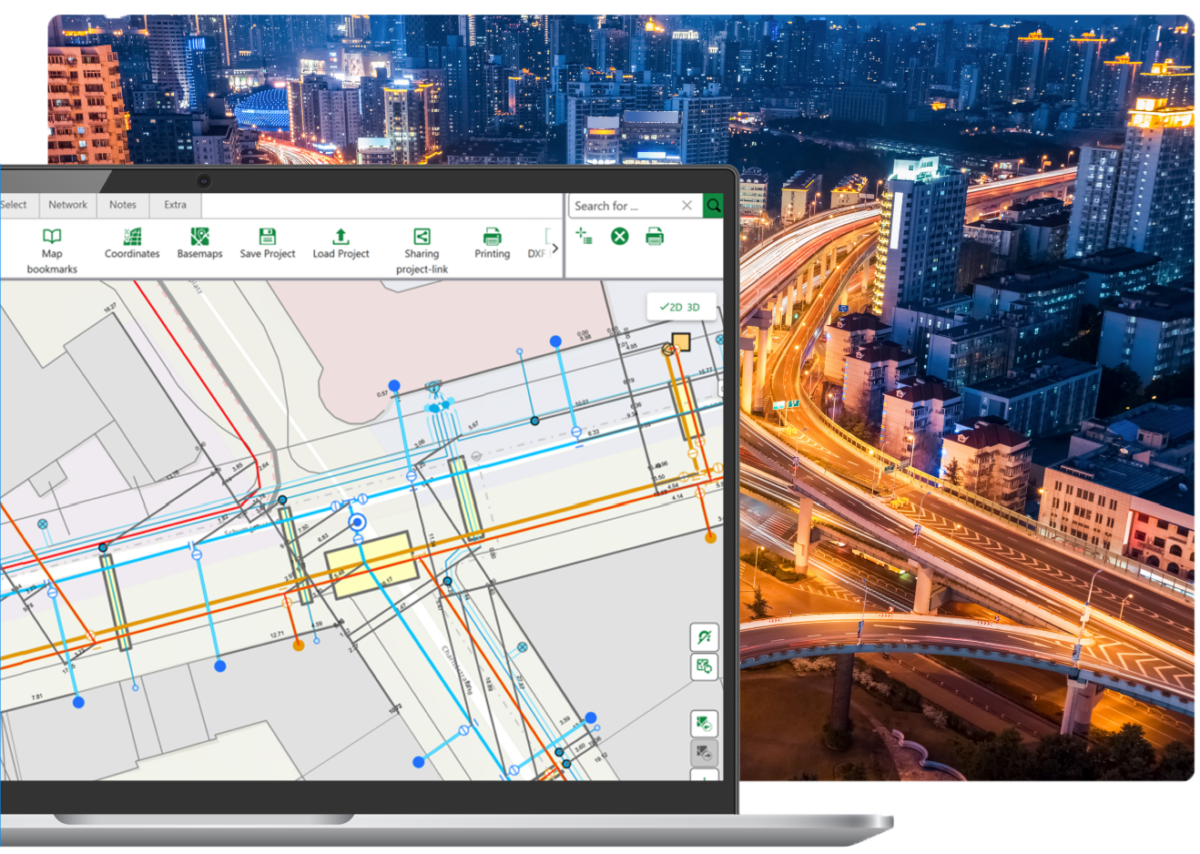
VertiGIS empowers organizations with advanced geospatial software and solutions to manage assets, optimize workflows, and make smarter, data-driven decisions. Designed to enhance Esri’s ArcGIS, our platforms support every stage of the asset lifecycle, from planning and design to operations and maintenance, and are tailored for utilities, telecommunications, public sector, and transportation industries.
See VertiGIS in Action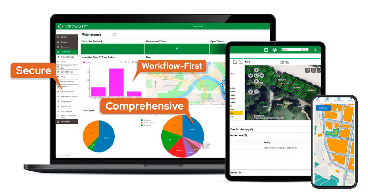
VertiGIS Geospatial AI
AI is only valuable when it helps your teams work more efficiently and make better decisions. That’s why VertiGIS builds AI capabilities into the workflows and business processes organizations rely on every day. From intelligent checklist generation and automated document processing to natural-language app configuration and multi-language master data translation, VertiGIS AI capabilities are operationally useful and enterprise ready.
We help you build a foundation of accurate, validated, and up to date geospatial data, so when AI acts, it acts on information you can trust, paving the way to agentic AI workflows as a practical next step, not a distant ambition.
Learn MoreIndustries We Serve
Solutions designed for your sector.
Solutions for smart cities and digital government services Improve transparency, efficiency, and citizen engagement with secure, accessible geospatial tools.
- Public-facing dashboards for open data and transparency
- Accessibility-compliant GIS applications
- Citizen engagement and service management tools
- Smart city planning with real-time spatial analytics
Learn More
Gain full visibility into network infrastructure and accelerate deployment with integrated geospatial workflows for planning, design, and operation.
- Unified Physical & Logical Network Inventory (PNI/LNI)
- Automated network design and bill of materials
- Simulation-based capacity and incident planning
- OSS/BSS, NMS, and GIS system integration
Learn More
Optimize infrastructure, improve reliability, and respond faster with real-time geospatial insights for utility network management and spatial analytics.
- Spatial planning for load balancing and infrastructure siting
- Outage management and emergency response tools
- Integration data from BIM, ERP, and EAM systems
- Industry-specific solutions for electric, gas, water, and wastewater
Learn More
Asset management and digital twin solutions to centralize operations and improve efficiency with location-based asset intelligence.
- Digital twin modeling with IoT integration
- Mobile maintenance and real-time asset tracking
- Incident management and downtime reduction
- CAFM standardization for compliance and cost control
Learn More
Powerful location-based solutions for streamlined facility management workflows and advanced data analytics. Manage properties, buildings, and locations holistically — driving efficiency, compliance, and measurable value for strategic decisions.
- Gain full control over assets, contracts, and payments in one platform
- Plan preventive maintenance with confidence. Capture incidents digitally, ensure regulatory compliance, and document inspections securely
- Automate meter readings and identify anomalies before they impact costs
Learn More
Geospatial solutions for exploration, pipeline, and asset management to boost operational efficiency and regulatory compliance with advanced spatial data tools.
- Satellite imagery and aerial surveys for site planning
- Pipeline routing and right-of-way optimization
- Asset visualization and predictive maintenance
- Automated regulatory reporting (e.g., OGOR)
- LiDAR, UAV, and analytics for risk monitoring
Learn More
Geospatial technology for transportation network management and planning to enhance infrastructure performance and streamline maintenance with real-time spatial insights.
- Road, rail, and airport network management
- Dynamic visualizations and straight-line diagrams
- Mobile-enabled field data collection and updates
- Right-of-way planning and compliance
Learn More
Synergize environmental, geologic, archeological, and other data to streamline workflows, improve collaboration, and reduce errors for optimized construction processes.
- Access and update information from anywhere
- Advanced data visualization for site analysis: infrastructure proximity, zoning regulations, environmental impacts, and soil stability
- 360-degree understanding of projects with seamless information flow between Building Information Modeling (BIM) and GIS data
Learn More
VertiGIS Neo
Web-based, AI-enabled geospatial solutions tailored to the workflows that power your industry.
Built for modern utilities and enterprises with scalable, secure cloud infrastructure that grows with your needs. Also available as on-prem deployment.
Reduce total cost of ownership compared to traditional desktop apps. Effortless deployment and maintenance across thousands of systems, without worrying about keeping hardware up to date
Offline-capable mobile apps make collaboration a breeze. Making the data accessible from anywhere, our apps are available for iOS, Android, and Windows devices.
Benefit from built-in AI tools to make your apps more accessible for any department and automate workflows like never before.
Our solutions are tailored to specific industries and solve problems and use cases through a single platform. Benefit from decades of GIS experience for tailored solutions.
Our platform ensures you can manage, analyze, and visualize location-based data with ease, for improved data quality and compliance.
Our numbers speak for themselves.
See why industry leaders choose VertiGIS.
Global clients across 50+ countries
Certified
Years of GIS Experience
Esri Platinum Partner
Partner Organization
Trusted by Organizations Worldwide
VertiGIS Studio Web Map: VertiGIS Customers worldwide
What Our Customers Say
Join over 5,000 satisfied customers worldwide who trust VertiGIS to power their geospatial operations and unlock real ROI.










From WebOffice to Studio: Configurable Searches at the Schwandorf District Office


Increasing efficiency and transparency: How WABCO is revolutionizing its maintenance processes














Ready to Harness the Power of Your Spatial Data?
Discover our software solutions
Our experts will help you solve your industry-specific challenges.
Tell us a little about yourself and we will be in touch with you soon!
FAQ
Understanding the VertiGIS Platform
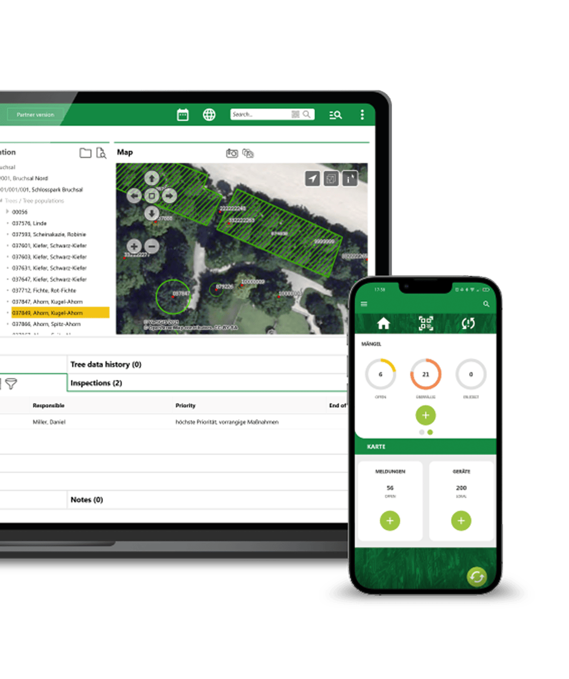
VertiGIS solutions are designed for organizations that rely on GIS to manage infrastructure, assets, and operations.
This includes:
- Utilities (electric, water, gas)
- Telecommunications providers
- Government and public sector agencies
- Transportation and infrastructure organizations
Any organization using ArcGIS or spatial data can benefit from improved workflows, automation, and analytics.
VertiGIS provides tailored solutions for the following industries:
- Utilities (electricity, water, wastewater, and gas networks),
- Telecommunications,
- Public Sector,
- Infrastructure.
VertiGIS offers a wide range of GIS-based software products. Our solutions include:
- Asset management and infrastructure lifecycle tools
- Network analysis, planning, and visualization
- Environmental monitoring systems
- Mobile workforce tools and native mobile apps
- Custom application development and integrations
- ArcGIS-based apps with low-code/no-code frameworks
- Applications optimized for Esri Utility Network
VertiGIS enhances and extends ArcGIS by adding industry-specific workflows, automation, and application frameworks.
While ArcGIS provides the core mapping and geospatial capabilities, VertiGIS helps you:
- Build applications faster with low-code/no-code tools
- Automate complex GIS workflows and processes
- Improve usability for non-GIS users across your organization
- Reduce custom development costs and maintenance effort
Organizations regularly see significant time and cost savings compared to building custom GIS applications from scratch.
Absolutely! We work closely with clients to understand their unique needs and deliver customized solutions. Whether you need integrations, tailored workflows, or specific reporting tools, we can adapt our solutions to meet your business goals.
VertiGIS delivers vertical-specific applications purpose-built for utilities, telecommunications, public sector, and transportation that extend existing enterprise GIS and operational systems.
Our geospatial platform continuously enriches, validates, and structures location data so it’s accurate, AI-ready, and usable across the full asset lifecycle.
From planning and field operations to asset maintenance, VertiGIS connects spatial data to operational systems so teams can work more efficiently without disrupting existing infrastructure.
VertiGIS AI is practical, workflow-first, and enterprise-ready. It reduces manual effort and improves data quality in the workflows your teams use every day.
Our AI extensions unlock value from both structured and unstructured data: field teams can capture an asset photo and have AI automatically classify and map inspection fields; scanned documents are converted into structured records with human confirmation governing every step.
Beyond data capture, our AI tool builder uses natural language to make platform configuration accessible to virtually any user, expanding custom tool creation from a small group of specialists to the vast majority of your organization. Transparency and a human-in-the-loop safeguards are built in throughout, so your teams stay in control.