


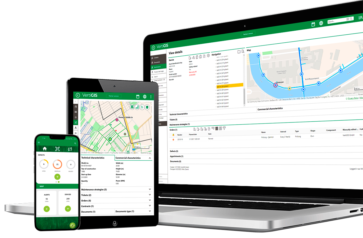
As AI reshapes how teams build and manage their GIS apps, VertiGIS is turning AI into real, deployable capability for the geospatial workflows that are already in use today—so you can reduce manual effort, standardize data, and accelerate delivery without compromising governance.
VertiGIS AI is operationally useful and enterprise-ready:

Workflow-first design
AI is embedded right where work happens: through checklists, invoices, catalogs, and designer commands.

Standardization and data quality
AI should make data more consistent, not more chaotic.

Transparency and control
Teams need to understand what AI did and retain the ability to review and correct.
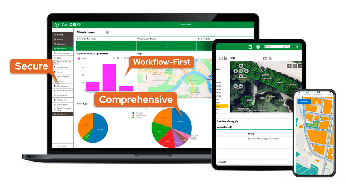
AI Extensions available now
VertiGIS AI Extensions enhance your existing environments with AI-driven capabilities that accelerate processes, improve data quality, and sustainably reduce workload.
Improve geospatial work right where it happens, inside the apps, forms, documents, and configurations your teams touch every day.
| VertiGIS Studio AI | VertiGIS FM AI |
| Built for teams configuring and evolving geospatial applications at speed. Powered by the Studio Web Designer AI Command Assistant: 1) AI-powered development Create or adapt functionality and configurations in the Web Designer using natural language. AI generates appropriate command chains and applies changes instantly. 2) Intelligent configuration support Complex command chains and settings are explained, analyzed, and optimized—supporting users without deep technical expertise. 3) Automated error analysis & troubleshooting Problems are detected, missing settings are identified, and concrete solution suggestions are provided. Benefits ✅ Significantly reduced complexity in app configuration ✅ Accelerated deployment of new applications and features ✅ Increased efficiency in analysis, customization, and troubleshooting ✅ Less dependence on specialist knowledge ✅ Faster digitization and process automation | Built for operational teams who manage assets, inspections, and documentation. 1) Intelligent checklist generation Based on recognized standards, AI generates structured asset inspection checklists—complete with descriptions, test values, and priorities. 2) AI-based invoice processing Add PDF invoices via drag & drop. AI extracts relevant information such as suppliers, amounts, and line items. 3) Automatic translations Translate inputs such as master data, catalogs, or checklists into multiple languages—ideal for internationally active organizations. Benefits ✅ Significantly reduced manual effort ✅ Faster access to structured, multilingual data ✅ Higher data quality and standardization ✅ Support for compliance and documentation requirements ✅ Scalable use across the organization |

More info about our AI-enabled solutions
VertiGIS Neo offers modern, industry-leading spatial asset management solutions for enterprise organizations. These next-generation, web-first, and AI-enabled solutions can be deployed in the cloud, on-premises, or as a hybrid solution to connect data, people, and processes across your entire asset lifecycle.
Organizations that manage complex networks, such as utilities, telecoms, municipalities, and infrastructure providers, need more than just maps. VertiGIS Neo’s platform brings together cloud hosting, native mobile applications, AI-driven workflows, and industry-informed features to deliver smarter, faster, and more resilient operations for both office and field staff.
Ready to Harness the Power of Your Spatial Data?
Discover our software solutions
Our experts will help you solve your industry-specific challenges.
Tell us a little about yourself and we will be in touch with you soon!