


The oil and gas industry faces complex challenges requiring more than traditional solutions. Upstream and midstream activities are hampered by fragmented data, error-prone field data collection, high asset management costs and complex compliance and reporting requirements.
VertiGIS Neo solutions for Oil & Gas optimize efficiency, reduce costs, boost collaboration for staff, stakeholders and customers, and support sustainability goals and compliance reporting.

Efficient Data Management
Combine data from key systems like BIM, ERP, EAM, and others with extensive GIS context to deliver an enhanced view of your environment.

Sustainability at Its Core
Our platform supports various sustainability use cases, including environmental analysis, energy use, and circular economy practices.

Advanced Visualization Tools
Visualize your data in ways that make it easy to understand and act upon, and ensure all stakeholders have access to the latest data.

Human-Centric Technology
Our user-focused design philosophy helps you maximize the value of data with user-friendly tools and enhances skills and creativity through intuitive automation and data unification.

Compatible with ArcGIS
Stay ahead of change with ArcGIS platform’s continuous updates, leveraging new and emerging Esri technology to minimize risks of future tech changes.

Unparallelled Flexibility
Our low-code framework supports adaptable app development tailored to your processes and business needs, to reduce development time and resources.

VertiGIS is a global Esri Platinum partner with GIS and industry expertise to meet your business and technology needs.
Customer Testimonials


Exploration
Use satellite imagery and aerial surveys to ensure accurate well-head coordinates for exploration, drilling site identification, and infrastructure planning. Monitor vegetation and soil erosion for environmental assessments and integrate data to streamline searches for new or existing reservoir sites.

Drilling
Optimize drilling and well pad setup to increase resource extraction while cutting costs and environmental impact. Streamline well construction from design to maintenance. Use digital tools and advanced map printing to improve efficiency, accuracy, and reporting.

Production
Enhance asset management by visualizing wells, improving efficiency and reducing downtime. Automatically generate regulatory reports like OGOR and use GIS and field data to streamline inspections and production updates and track environmental impact.
Transportation
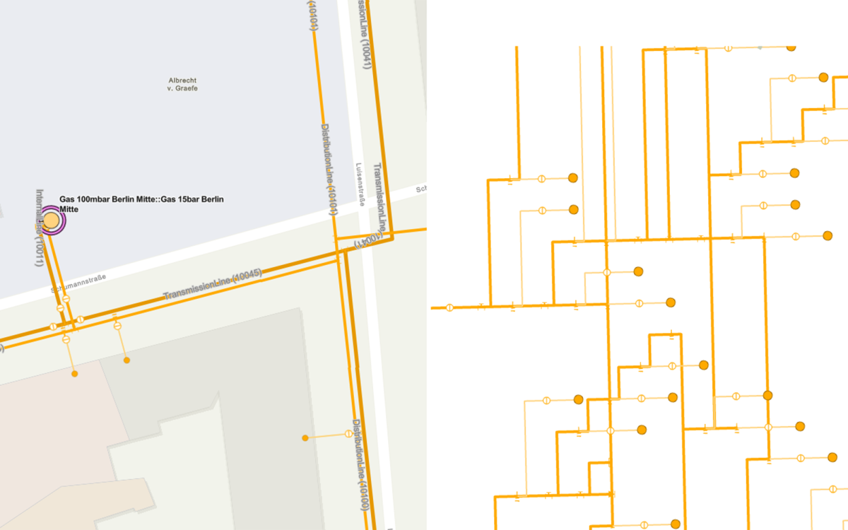
Optimize pipeline construction with enhanced site selection, route alignment, and ROW management, reducing costs and delays. Integrate technologies like LiDAR, UAVs, and predictive analytics to improve risk monitoring, maintenance, and emergency response.

Storage
Identify prime locations for storage facilities near pipelines, transport hubs, and demand centers to optimize storage and distribution for better performance, while real-time tracking monitors tank levels to prevent mismatches and cut costs.

Regulatory Compliance
Meet environmental regulations, adopt sustainable practices, and manage unfunded mandates like FIMSA and SCADI/KADI.
.
Industry Solutions
Explore our products that empower organizations boost efficiency, make smarter decisions, and drive growth.
Related Story
Utility Network Migration: Don’t Bring Legacy Problems with You
Written by Steve MaddisonSenior Account Executive, VertiGIS . . Turn your ArcGIS Utility Network migration into a modernization initiative, not just a technology upgrade. . Moving to a new home Read More
Related Story
The Tree Inspector in Your Pocket: Meeting Public Safety Requirements with a Mobile App
Responsibility Grows with Every Tree Municipalities, utility companies, and service providers face the challenge of regularly inspecting green spaces and tree inventories to meet their duty of care obligations and Read More
Related Story
Why Mobile GIS Must Evolve Beyond Maps and Data Collection
Written by Cam BarnardProduct Director, VertiGIS . . VertiGIS Neo solutions enable organizations to bring data, workflows, and decision-making closer to the field Executive Summary Mobile GIS is undergoing a Read More
Related Story
AI-Powered Geospatial Intelligence
Written by Drew Millen Chief Technology Officer at VertiGIS . . Empowering more users to make better decisions by reducing complexity and increasing organizational agility Executive Summary: AI is reshaping Read More
Related Story
Utility Network adoption shouldn’t require operational disruption
Written by Greg Brazeau Director of Sales, Utilities at VertiGIS . . Accelerate Time-to-Value in Utility Network Migration Introduction For many utilities, moving to Esri’s ArcGIS Utility Network isn’t a Read More
Ready to Harness the Power of Your Spatial Data?
Discover our software solutions
Our experts will help you solve your industry-specific challenges.
Tell us a little about yourself and we will be in touch with you soon!