



 All Blog Articles
Written by Drew Millen
Chief Technology Officer at VertiGIS

.
.
As AI, digital twins, and automation go mainstream, organizations face a growing challenge: ensuring the location data behind critical decisions is accurate, trusted, and fit for purpose.
.
Executive Summary
As organizations embrace AI, digital twins, and increasingly automated operations, the importance of trusted geospatial data has never been greater. Yet many continue to rely on fragmented, inconsistent, and poorly governed spatial information, creating risks that extend from operational inefficiencies to flawed business decisions. Geospatial data integrity is no longer just a technical concern. It is a strategic business imperative. By ensuring data is accurate, consistent, secure, and validated at every stage of the lifecycle, organizations can improve decision-making, reduce risk, accelerate innovation, and build the trusted foundation required for the next generation of location intelligence, automation, agentic workflows, and AI-driven outcomes.
Trust: The Foundation of Location Intelligence
Geospatial data integrity means location data is accurate, traceable, consistent, and secure across its entire lifecycle, not just accurate at a single point in time. As AI, digital twins, automated systems, and agentic workflows that increasingly take action on behalf of users become core to enterprise operations, geospatial data integrity has shifted from a technical GIS concern to a strategic business imperative that determines whether AI-driven decisions can be trusted.
A few meters can be the difference between success and disaster. The location of a gas line is mis-represented, and the utility gives the “all clear” to dig, risking potentially life-threatening consequences. An emergency drone misses its designated landing zone by a matter of feet. A multi-million-dollar real estate development gets approved on the basis of a flood map that was never updated. In each case, the failure isn’t mechanical or human, it’s positional. The underlying location data was wrong, and everything built on top of it inherited that error.
This is the invisible crisis facing modern infrastructure, safety systems, and corporate strategy: geospatial data integrity is no longer a back-office concern reserved for GIS professionals. As organizations lean on AI-driven automation and digital twins to make decisions once handled by human judgment, the industry must shift its focus from simply collecting more data to guaranteeing the integrity of the data it already has.
What Does “Geospatial Data integrity” Actually Mean?
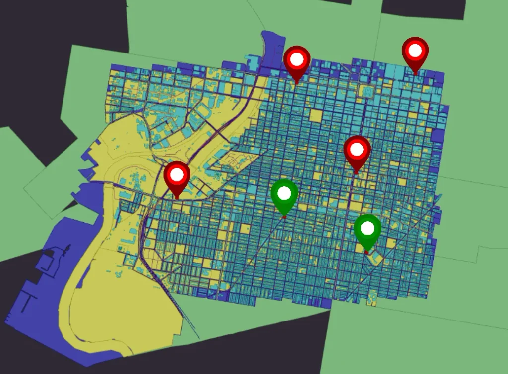
When most people think about data quality, they think about accuracy, for instance, is the pin in the right place? But true geospatial data integrity goes far beyond precision. It’s built on three pillars that together determine whether location data can be trusted throughout its entire lifecycle:
- Provenance and Metadata
Knowing exactly where data originated and how it has been modified along the way. Organizations need confidence that data comes from authoritative sources, and that every change is traceable and auditable. - Consistency
Ensuring data remains reliable across formats, coordinate systems, and timeframes. A dataset that behaves differently depending on the application it’s viewed in creates operational risk and undermines confidence in decision-making. - Security
Protecting spatial data from spoofing, tampering, and malicious degradation as it becomes more deeply embedded in critical infrastructure and business operations.
Together, these three pillars create something increasingly valuable in the digital economy: trust. And trust, not raw data volume, is what determines whether an organization can act confidently on the information in front of it.
Why has Data Integrity Become a Strategic Imperative?
Location intelligence is no longer confined to mapping applications. Geospatial data now feeds enterprise systems, drives automated workflows, and serves as critical training input for artificial intelligence. That expanded role comes with expanded consequences.
- The AI and agentic workflow “garbage in, garbage out” problem: AI models and agentic systems are only as reliable as the data they consume. Inaccurate, duplicate, incomplete, or poorly structured spatial data doesn’t just produce flawed outputs, it can propagate erroneous recommendations and actions across enterprise workflows at a speed no manual review can catch.
- The rise of digital twins: Utilities, telecommunications providers, transportation agencies, and public-sector organizations are investing heavily in digital twin technology. But a digital twin is only as reliable as the data feeding it. Inaccurate assets or disconnected network components can quietly undermine the value of the entire system.
- The growth of autonomous systems: Self-driving vehicles, delivery drones, and automated logistics networks depend on near sub-centimetre positional truth. In these systems, flawed data doesn’t just create inefficiency, it creates physical risk.
- Climate change and risk management: Insurers, governments, and utilities rely on spatial data to model wildfire risk, flood exposure, and sea-level rise. Bad data leads directly to misallocated resources.
- Enterprise-wide economic consequences: Errors don’t stay contained to GIS teams. They propagate into asset management systems, ERP platforms, engineering workflows, permitting systems, and customer-facing applications, creating downstream costs, delays, and rework across multiple departments. Poor data quality is, in fact, one of the largest hidden costs in enterprise GIS.
Why are Traditional Data Validation Approaches No Longer Enough?
Historically, organizations have relied on manual validation, desktop GIS workflows, and disconnected quality assurance processes. These approaches may have worked when datasets were smaller and updates were infrequent. That reality no longer exists.
Today, data arrives continuously from contractors, field crews, consultants, IoT sensors, and external partners, moving through cloud environments and enterprise systems in near real time. Validation performed after data flows through the system is too late, because by then, poor-quality information may already be influencing operational decisions. Legacy desktop GIS setups create data silos that allow dirty data to propagate unchecked. Geospatial integrity can no longer be treated as an afterthought; it must be embedded directly into the data lifecycle, starting at the point of entry.
How Do Vertigis Neo Solutions Help Organizations Build a Trusted Geospatial Foundation?
If data integrity is now a strategic requirement, organizations need platforms engineered to enforce quality from the moment data enters the ecosystem. This is the core of the VertiGIS Neo approach.
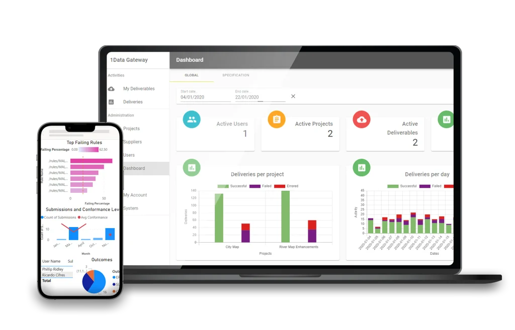
- Shift validation to the edge. Third-party contractors and field teams submit large volumes of geospatial information, and without validation, inconsistencies accumulate fast. VertiGIS 1Data Gateway automatically validates incoming submissions against predefined business rules before that data ever reaches core systems. Instead of discovering problems weeks later, organizations can identify and correct issues at the source.
- Build AI-ready data pipelines. As AI adoption accelerates and organizations begin deploying agentic workflows that automate decisions and actions across business systems, they need certainty that the data feeding those systems is trustworthy. VertiGIS 1Integrate uses a patented, automated rule engine to structure quality controls that clean and standardize data before it enters AI workflows and agentic ecosystems, closing the trust gap between data collection and AI-driven decision-making.
- Maintain operational consistency across the network. Critical infrastructure operators can’t afford disconnected data. VertiGIS Neo natively supports Esri’s ArcGIS Utility Network, enforcing real-time network topology validation so a missing connection or unvalidated asset can’t compromise operational awareness across engineering, asset management, and field operations.
- Keep GIS and enterprise systems synchronized. VertiGIS Integrator bridges GIS with ERP platforms such as SAP, IBM Maximo, Infor CloudSuite, Oracle Fusion Cloud, and SCADA, ensuring data stays consistent and synchronized across every system that depends on it.
- VertiGIS Studio Access Control enforces least-privilege access. Data integrity depends not only on accuracy and validation, but also on ensuring that only authorized users can modify critical information. VertiGIS Studio Access Control applies a least-privilege model, helping organizations ensure that only users with the appropriate permissions can edit specific data elements, reducing the risk of accidental or unauthorized changes while strengthening governance and accountability across geospatial workflows.
From Data Governance to Operational Advantage
One of the biggest challenges organizations face today is the disconnect between data governance and operational execution. Governance teams focus on quality standards and compliance; operational teams focus on delivering business outcomes. Historically, these have operated as separate disciplines.
The future belongs to organizations that unite them. When trusted data flows directly into field workflows, asset management processes, and decision-support tools, geospatial information stops being a technical asset and becomes a strategic business capability. This is the direction the industry is heading: away from isolated, departmental GIS systems and toward enterprise-wide geospatial platforms that connect ingestion, validation, integration, operations, decision-making, and agentic workflows into a single trusted ecosystem.
Trust Is the Currency of the AI-Driven Enterprise
AI, automation, digital twins, and real-time operations all promise extraordinary value, but none of these innovations can succeed without trusted, governed, and consistent location data. Organizations that continue to treat data verification as a cost center or an afterthought will struggle to realize the full potential of these technologies. Those that invest in geospatial data integrity obtain something more valuable than clean datasets: they gain confidence in their operations, their decisions, and their AI.
Before an organization can confidently map its future, it must first be certain of the ground it’s standing on today.
Frequently Asked Questions
- What is geospatial data integrity, in the simplest terms?
Geospatial data integrity is the assurance that location data is accurate, traceable to its source, consistent across systems and formats, and protected from tampering throughout its entire lifecycle, not just accurate at the moment it was collected. - Why does poor geospatial data quality matter for AI projects specifically?
AI models learn from the data they’re trained on. If that spatial data is inaccurate, duplicated, or inconsistently structured, those flaws become embedded in the model itself and get scaled across every downstream decision the AI supports. - Who is responsible for geospatial data integrity within an organization?
Historically, GIS teams have owned data quality. As location data now feeds ERP systems, asset management platforms, engineering workflows, and AI pipelines, responsibility increasingly spans IT, operations, data governance, and executive leadership. - How is the VertiGIS Neo technology approach different from legacy desktop GIS workflows?
Legacy desktop GIS relies on manual validation performed after data enters the system, which allows errors to propagate before they’re caught. VertiGIS Neo shifts validation to the edge, enforces real-time network topology, and integrates directly with ERP systems to maintain data consistency continuously, rather than periodically. - Is geospatial data integrity only relevant to utilities and telecommunications?
No. While utilities, telecommunications, transportation, and public-sector organizations face the highest stakes due to critical infrastructure dependencies, any organization using digital twins, automated logistics, or AI-driven analysis depends on the integrity of its underlying location data.
All Blog Articles