


 All New Articles
New platform demonstrates the strategic value of the 1Spatial acquisition and strengthens VertiGIS’ position as a global leader in geospatial data management and intelligence.
Denver, US. November 18, 2026 – VertiGIS, a global leader in geospatial solutions, today announced the availability of VertiGIS Data Gateway, the first significant platform innovation to emerge following its acquisition of 1Spatial, and a major milestone in the company’s growth strategy.
Launching worldwide on GIS Day 2026, VertiGIS Data Gateway strengthens VertiGIS’ ability to help infrastructure and asset-intensive organizations trust, govern and operationalize data at scale, creating a foundation for more informed, data-driven decision-making.
More than a product launch, VertiGIS Data Gateway demonstrates the value of bringing together VertiGIS and 1Spatial, which VertiGIS acquired in April 2026. By combining 1Spatial’s industry-leading data quality assurance capabilities with VertiGIS’ operational and workflow expertise, the company has created a stronger, more comprehensive geospatial platform that helps customers turn trusted data into operational outcomes. The combined offering provides automated governance and validation with industry-specific applications, workflows and geospatial intelligence.
Organizations across utilities, telecommunications, transport, government and other asset-intensive industries are looking to unlock greater value from data, automation and AI. However, many continue to struggle with fragmented information, inconsistent data quality and disconnected systems.
VertiGIS Data Gateway addresses these challenges by helping organizations connect, validate, govern and operationalize data across complex geospatial data supply chains. This includes internal teams, contractors, suppliers and delivery partners, ensuring information remains accurate, compliant and fit-for-purpose from initial creation through to operational use.
Addressing Data Quality Challenges
As organizations increasingly invest in AI-powered analytics, automation and spatial intelligence, many face a common challenge: ensuring the quality, consistency and governance of the data that drives those initiatives.
VertiGIS Data Gateway provides an ongoing approach to geospatial data quality, validating information at the point of creation through a patented automated rules engine, helping prevent errors from entering core systems and operational workflows. Beyond identifying and correcting poor-quality data, it can use inference and other methods to create and populate missing information, enabling organisations to develop more complete datasets.
Its architecture also enables data quality to be continuously maintained throughout the lifecycle of the data, rather than relying on periodic, point-in-time cleansing projects. Integrated with existing systems and workflows through RESTful APIs, VertiGIS Data Gateway provides a persistent layer of automated validation and quality control, helping organisations maintain a trusted source of geospatial information as their data evolves.
“Data is only valuable when organizations can trust it and rely on its accuracy,” said Drew Millen, Global Chief Technology Officer, VertiGIS. “The launch of VertiGIS Data Gateway is an important milestone for our business and demonstrates the strength of combining VertiGIS and 1Spatial. Now we are providing customers with a unified platform that helps them ensure data quality, establish governance at scale and confidently put data to work across their operations.”
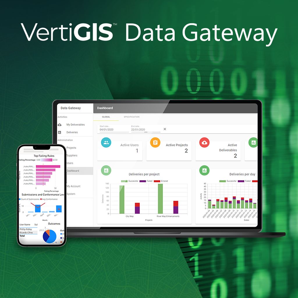
Built on the data management and governance capabilities that made 1Spatial a recognized leader in the geospatial market, VertiGIS Data Gateway automates data validation, cleansing, transformation and compliance across complex environments. Configured for secure HTTPS access, it ensures only authorized users can connect and access assigned work, providing administrators with precise control over permissions and job allocation.
A Trusted Data Foundation for AI
As organizations increasingly adopt AI-powered analytics, automation and decision-making, ensuring the quality of data underpinning these technologies becomes imperative. VertiGIS believes trusted, validated data is essential to realizing the full value of AI, particularly in sectors where critical operational and public-facing decisions depend on accurate spatial information.
The launch reinforces VertiGIS’ vision of a unified geospatial platform that connects data, workflows and operations. While VertiGIS applications and industry-specific solutions help organizations operationalize geospatial information, VertiGIS Data Gateway ensures data remains governed, validated and AI-ready, providing the trusted foundation for analytics, business processes and future AI initiatives. Together, these capabilities enable faster, more informed decision-making.
“AI has the potential to transform how organizations plan, maintain and operate critical infrastructure, but its effectiveness depends entirely on the quality of the data behind it,” added Drew Millen. “As organizations look to embed AI into everyday business processes, they need confidence that the information driving those decisions is accurate, consistent and fit for purpose. VertiGIS Data Gateway helps provide that confidence, enabling customers to unlock greater value from geospatial intelligence while improving performance and efficiency.”
Since acquiring 1Spatial, VertiGIS has focused on bringing together complementary technologies, expertise and teams to deliver greater value to customers worldwide. The launch of VertiGIS Data Gateway marks a significant milestone in that journey, demonstrating how the combined strengths of VertiGIS and 1Spatial are helping organizations build a reliable foundation for geospatial operations and AI-enabled decision-making.
Available globally from November 18, 2026, VertiGIS Data Gateway supports cloud, customer-managed and on-premises deployments, helping organizations improve data quality, strengthen governance and accelerate digital transformation. For more information, click here: https://www.vertigis.com/vertigis-data-gateway/
All News