



 All New Articles
VertiGIS Neo’s AI-driven capabilities will be showcased at the Esri User Conference, July 13-17, in San Diego
Denver, US. 7th July 2026 — VertiGIS, a global leader in geospatial solutions, today announced the next phase of VertiGIS Neo, its cloud-centric, web-based, mobile-ready AI-enabled suite of solutions. Neo operationalizes AI across live geospatial workflows, empowering utilities, fiber and infrastructure operators to move from static mapping to real-time decision-making.
At the heart of Neo’s evolving AI capabilities, VertiGIS empowers teams to provide a faster, more reliable service delivery. It automates complex tasks, lowers barriers to expertise, and simplifies specialist capabilities into everyday tools. This enables customers to address some of the biggest asset management challenges, from asset maintenance and outage response to network planning and field operations.
Delivering an AI-Enabled Platform
VertiGIS Neo unifies the solutions portfolio, including VertiGIS Networks, VertiGIS Studio, VertiGIS ConnectMaster and VertiGIS FM, under a cohesive architecture designed for cloud, web and mobile-first delivery. It connects applications, data and workflows into a single, intelligent system.
By turning spatial data into operational insight, it enables organizations to forecast demand, optimize infrastructure placement and balance network loads, supporting smarter expansion and more sustainable operations. Neo incorporates advanced location master data management (LMDM) capabilities to help organizations create, validate, and maintain high-quality spatial data across their networks.
Combining flexible deployment options such as cloud, on-premises, or a hybrid approach, VertiGIS Neo supports customers in modernizing at their own pace, while reducing total cost of ownership. In addition, with data validation, quality assurance, and multi-source data integration, VertiGIS Neo provides a governed, reliable connected intelligence layer for every workflow.
“Organizations managing complex networks need more than isolated tools; they need a platform that connects data, people, and processes across the entire asset lifecycle. VertiGIS Neo delivers this as a unified, AI-enabled platform, transforming how organizations turn geospatial data into faster, smarter, and more resilient operations,” said Drew Millen, Chief Technology Officer at VertiGIS.
A Connected Intelligence Layer for Real-World Impact
With VertiGIS’ recent acquisition of 1Spatial, Neo narrows the gap between the robust geospatial data foundation and operational decision-making. By strengthening the link between AI and data quality, AI tools are more effective, scalable, and deployable.
“This reinforces our long-term differentiation through trusted geospatial data, strong governance, and AI readiness, and positions VertiGIS as the partner of choice for organizations operating in regulated, data-intensive environments,” adds Millen.
Integrating with core enterprise systems in broader geospatial environments, VertiGIS Neo directly addresses some of the issues that constrain the effectiveness of AI solutions – including data fragmentation; weak governance frameworks; and poor data quality. By delivering a connected intelligence layer, where data moves in real-time across systems, teams and environments, VertiGIS Neo removes the lag between data capture and decision-making, allowing AI to be scaled in complex infrastructure environments.
This enables customers to turn governed data into actionable intelligence. It empowers organizations to move from reactive workflows to predictive, insight-driven operations.
Built for Scalable, Responsible AI Adoption
With customers already using AI within VertiGIS solutions – such as VertiGIS Studio and FM – to solve real geospatial challenges, VertiGIS Neo underpins VertiGIS’ long-term AI strategy, enabling organizations to scale AI with confidence. It demonstrates VertiGIS’ focus on practical, deployable AI-enabled solutions that are built on governed environments, secure data handling, and human-in-the-loop workflows that are both scalable and trusted in mission-critical environments.
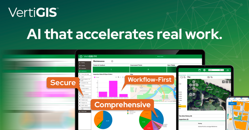
VertiGIS’ positioning is supported by a recent independent study by PwC, which highlights a broader industry shift where geospatial technology is evolving from a system of record into a core platform for real-time, insight-driven operations.
VertiGIS Neo will be showcased at the Esri User Conference, 13-17 July 2026 in San Diego (VertiGIS booth #1219). Following closely on from the 1Spatial acquisition, the launch signals VertiGIS’ accelerated pace of innovation, enabling organizations to transition from static geospatial systems to intelligent, adaptive AI-driven workflows.
More than 5,000 organizations worldwide rely on VertiGIS to turn geospatial data into actionable insights. If you want to find the right solution for your organization, please get in touch.
All News