
As our world becomes more connected, coordinating complex workflows to meet rising demands is increasingly challenging. Digitalization opens new opportunities—especially through the powerful combination of Digital Twins and Geographic Information Systems (GIS). In this article, you’ll discover what this means for your organization and what trends are shaping the future.
What Is a Digital Twin?
A Digital Twin is a virtual representation of a physical object or system—such as a building, a pipeline, or an entire utility network. It goes beyond geometry, incorporating dynamic data like condition, usage, and maintenance status. In modern infrastructure systems, the Digital Twin becomes the central control hub: enabling simulations, predictive insights, and automated decisions—all powered by real-time data.
From GIS to Digital Twins
GIS ties assets and processes to their spatial context and shows them on interactive maps. Traditional desktop GIS solutions have evolved into web and cloud platforms, enriched by IoT sensors, AI-driven analytics, 3D models, and real-time monitoring. These advancements create integrated geospatial infrastructures that offer full digital representations of assets and workflows, leading to a connected, adaptive Digital Twin ecosystem that continually optimizes and withstands change.
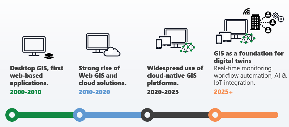
The evolution of GIS—from desktop tools to web/cloud platforms to fully integrated Digital Twins.
Unlocking Potential: Use Cases That Transform Workflows
With a modern geospatial foundation, Digital Twins reach their full potential—across smart cities, infrastructure management, and industrial operations. The benefits go far beyond efficiency, they redefine entire processes:
- Real-Time Monitoring of assets and operations
- Scenario Simulations (e.g., network outages, maintenance cycles)
- Predictive Maintenance powered by AI for early detection of wear and failures
- Energy Optimization to cut costs and emissions
- Risk Management for natural disasters or network overloads
- Capacity & Resource Planning for smarter allocation of staff and materials
- Sustainability Reporting with live CO₂ and resource tracking
- Virtual Commissioning to validate processes before physical implementation
- Enhanced Customer Experience through real-time updates for citizens and end-users
- Security Monitoring to detect anomalies in critical infrastructure
- BIM Integration for seamless planning and lifecycle management
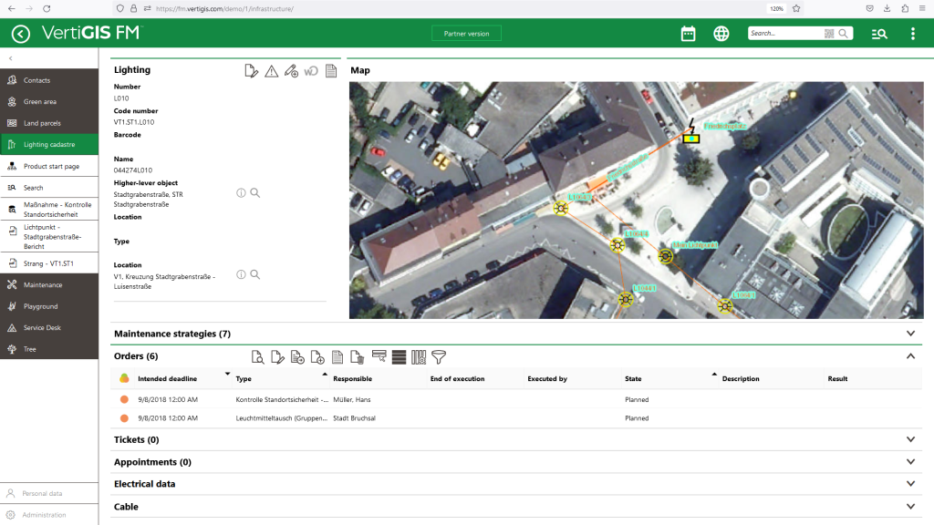
A GIS-based Digital Twin captures not only component data but also maintenance strategies, inspection routines, and checklists—creating a holistic view of your assets.
Key Success Factors for Implementation
Our project experience shows that introducing Digital Twins requires a strategic approach. Critical success factors include:
- Data Quality: Reliable models need clean, consistent data
- System Integration: Smooth interfaces with ERP, CAD, IoT, and more
- Scalability: Solutions must grow with your data and requirements
- Cybersecurity: Protecting critical infrastructure from attacks
- Data Privacy: Especially vital for urban applications
Shape your Future with VertiGIS
Digital Twins built on a modern GIS platform are more than a trend—they’re the key to efficient, transparent, and sustainable processes. Investing today means actively shaping your organization’s future.
The VertiGIS team supports you every step of the way—from analysis to implementation. Take advantage of our free consultation and discover the solution that fits your needs. Contact us now and start your digital transformation!