


 All New Articles
Relaunch creates a powerful, secure, and scalable platform for citizen services and administration
The state capital of Mainz and its municipal data center (KDZ) are relying on VertiGIS and Esri Germany for the relaunch of their Geospatial Data Infrastructure (GDI). The goal is to establish a modern, cloud-based, and security-certified SaaS platform that optimally supports current requirements and future developments.
The technical foundation is provided by Esri’s ArcGIS Online, which has been established for many years as a reliable standard for modern digital administrative infrastructures and operates without the need for local servers. VertiGIS Studio, VertiGIS FM, and other components of the VertiGIS Neo technology vision enable end-to-end operation in the cloud. They extend the ArcGIS platform in a targeted manner with practical functions for administrations, such as map applications, specialized solutions, or infrastructure management. The entire architecture meets high standards for information security, data protection, and compliance and is designed to remain scalable and future-proof in the long term.
With the new GDI, Mainz is creating a central, powerful platform for citizen-oriented services and internal administrative WebGIS information systems. At the same time, it addresses key challenges that are becoming increasingly important for modern municipal IT infrastructures. Among the advantages of the cloud-based GDI are high availability and operational stability achieved through a consistent cloud-first approach. Additionally, the project consolidates Mainz’s historically evolved and complex system landscape—comprising various SaaS and managed service components—into a consistent, integrated solution.
The new GDI enables the flexible implementation of a wide variety of specialized applications to simplify daily administrative work. Through the use of modern low-code and no-code technologies—tools that allow software to be created with almost no programming—applications can be efficiently configured and, if necessary, specifically expanded and adapted. At the same time, a clear data and system architecture ensures transparency, easy maintenance, and future-proofing.
“Building a modern geodata infrastructure is the foundation for our city’s digital twin. By systematically collecting, linking, and making geodata analyzable, we create the basis for better planning decisions—for example, in the areas of transportation, climate, or social infrastructure. The relaunch of our WebGIS is thus a key step toward intelligently managed and resilient urban development,” explains Mainz Mayor Nino Haase.
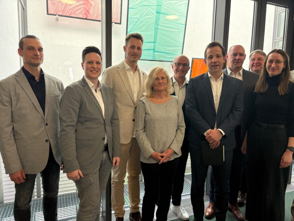
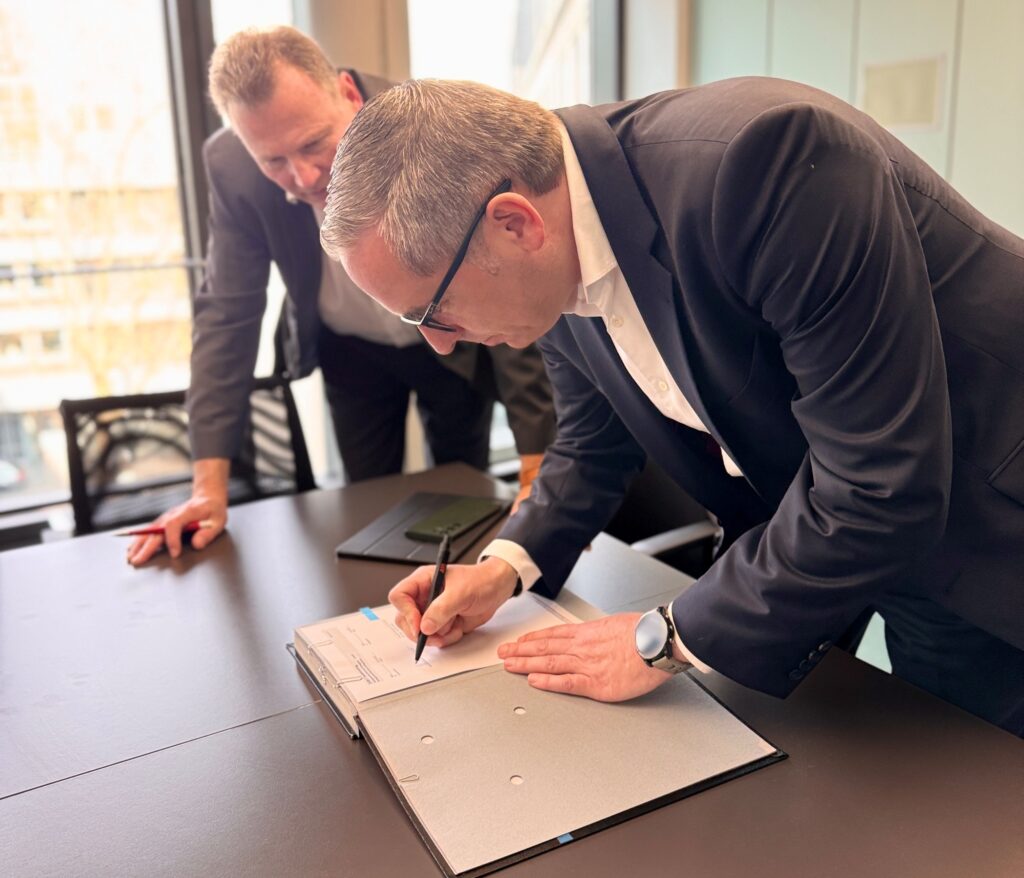
“VertiGIS and Esri are jointly creating an innovative geodata platform for the city of Mainz that enables modern administration, digital services, and future-proof processes. This makes geodata management a true driver of efficiency and innovation,” says Christoph Kiedl, MD Utilities & Infrastructure, EUROPE, VertiGIS GmbH.
“The state capital of Mainz demonstrates how modern administration works today: consistently cloud-based and interconnected. With ArcGIS Online as the foundation, we are helping the city build a future-proof geodata infrastructure while making collaboration across departments easier than ever before. Geodata is thus made available wherever it is needed—for both the administration and residents alike,” emphasizes Lea Hemetsberger, Head of Sales for Local Governments, Esri Deutschland GmbH.
All News