


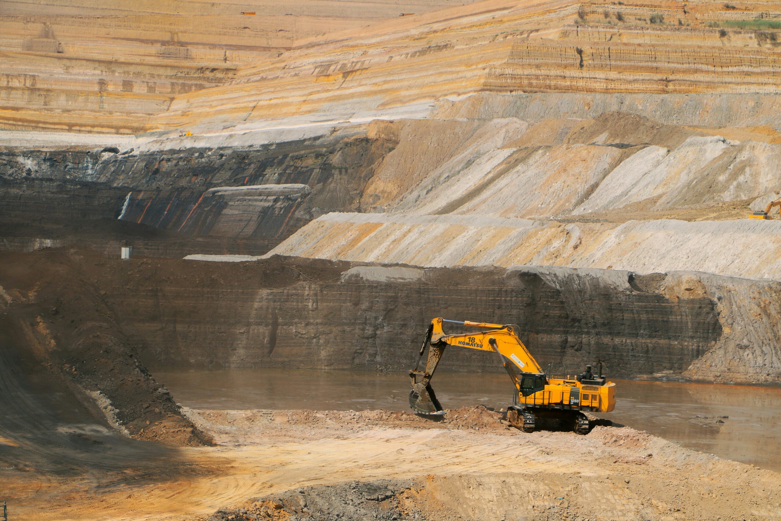
Every mine runs on location data, but it rarely sits in one place. Survey, geology, environmental and land records live in separate systems, field data arrives late or incomplete, and permit conditions demand evidence regulators can trust.
VertiGIS Neo solutions for Mining bring it together: office teams, field crews and contractors work from one map, and regulator reports come straight from it.

Efficient Data Management
Combine data from key systems like BIM, ERP, EAM, and others with extensive GIS context to deliver an enhanced view of your environment.

Sustainability at Its Core
Our platform supports various sustainability use cases, including environmental analysis, energy use, and circular economy practices.

Advanced Visualization Tools
Visualize your data in ways that make it easy to understand and act upon, and ensure all stakeholders have access to the latest data.

Human-Centric Technology
Our user-focused design philosophy helps you maximize the value of data with user-friendly tools and enhances skills and creativity through intuitive automation and data unification.

Compatible with ArcGIS
Stay ahead of change with ArcGIS platform’s continuous updates, leveraging new and emerging Esri technology to minimize risks of future tech changes.

Unparallelled Flexibility
Our low-code framework supports adaptable app development tailored to your processes and business needs, to reduce development time and resources.

VertiGIS is a global Esri Platinum partner with GIS and industry expertise to meet your business and technology needs.
Customer Testimonials



Exploration
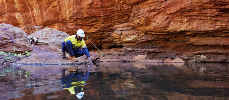
View imagery, LiDAR, drillholes, lease boundaries, heritage sites and environmental constraints together in one 2D or 3D web app. Capture mapping and sampling data offline and sync it when back online, so the whole team sees the latest results.
Development
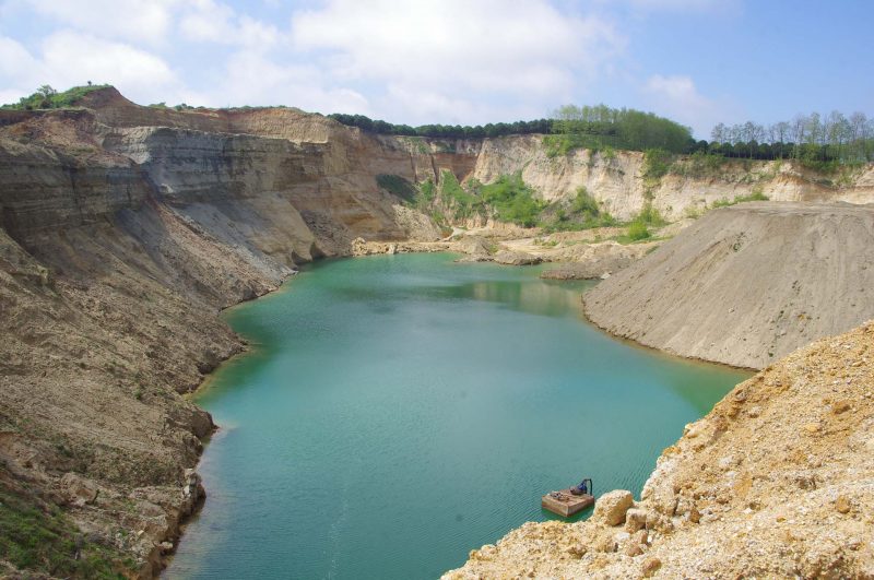
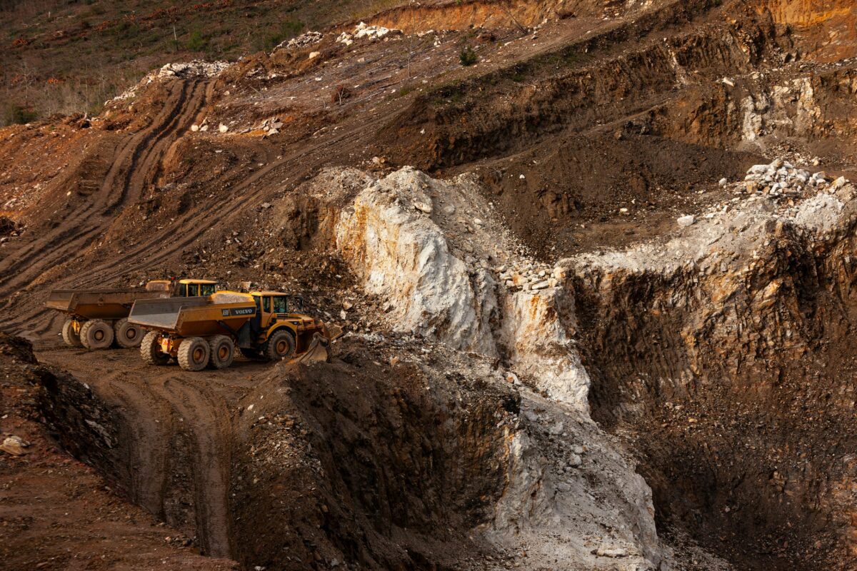
Compare locations for haul roads, tailings facilities and water infrastructure with tenure and land ownership in view. Check proposed disturbance against approved areas, guide permit applications with step-by-step workflows, and print high-resolution maps for regulatory submissions.

Operations
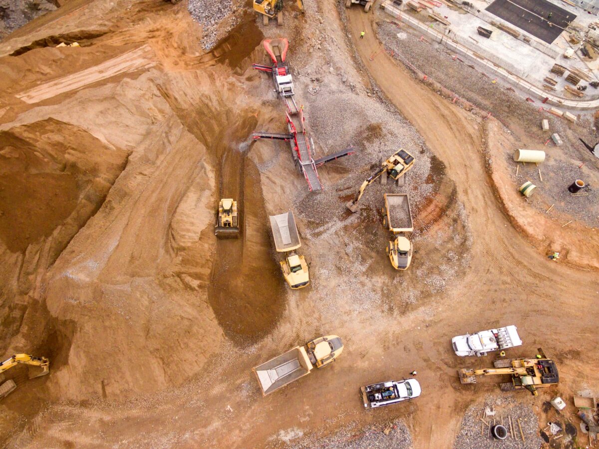
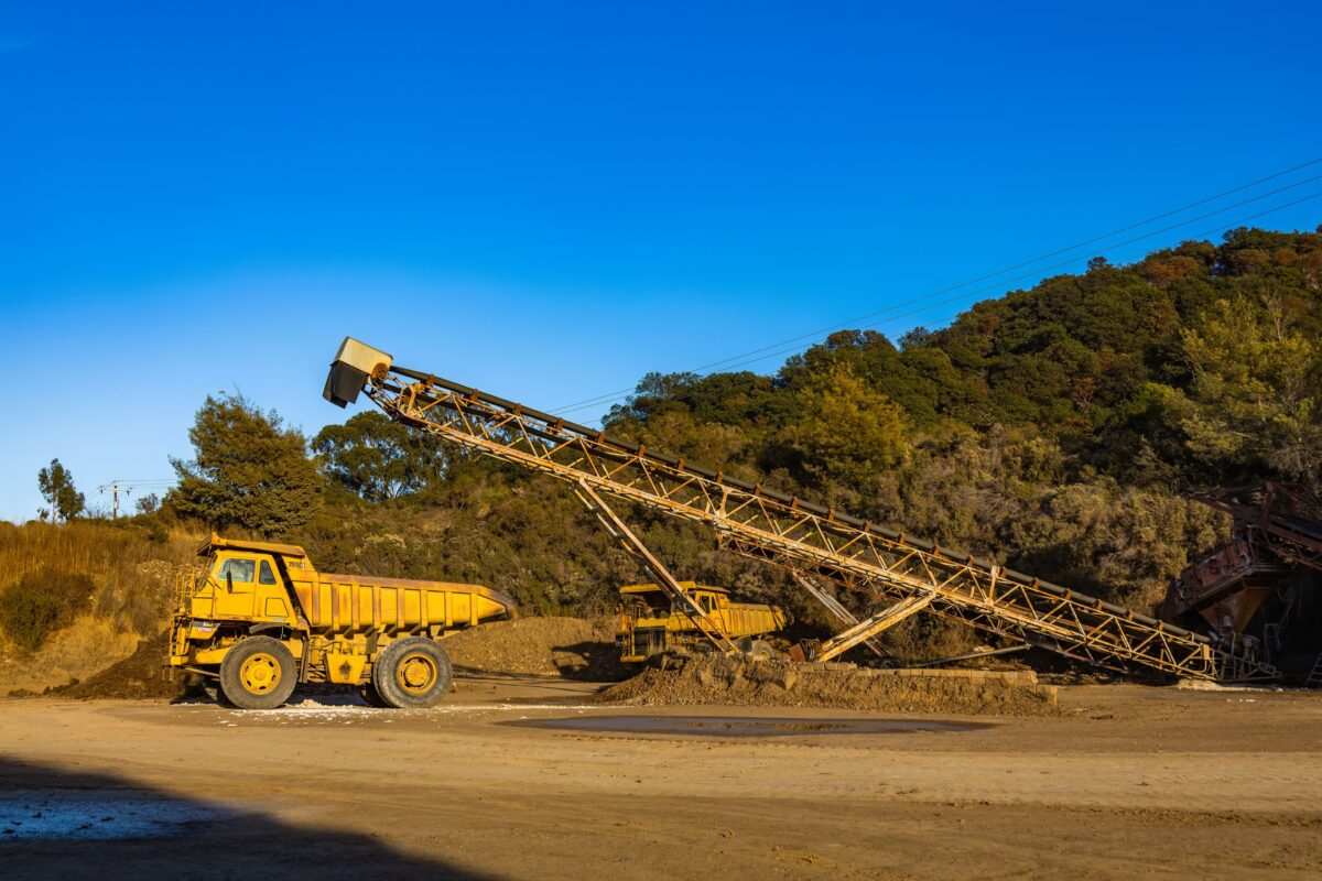
Give every team a shared, up-to-date view of the mine, linking GIS with ERP and asset management systems. Run inspections, hazard reports and maintenance updates from mobile apps that work offline underground or in the pit.
Closure
Plan for closure from day one. Track disturbance and progressive rehabilitation, give consultants guided forms with controlled access, and build reports that combine maps, monitoring data and photos to help demonstrate compliance with approval conditions.
.
Industry Solutions
Explore our products that empower organizations boost efficiency, make smarter decisions, and drive growth.
Related Story
The Tree Inspector in Your Pocket: Meeting Public Safety Requirements with a Mobile App
Responsibility Grows with Every Tree Municipalities, utility companies, and service providers face the challenge of regularly inspecting green spaces and tree inventories to meet their duty of care obligations and Read More

Related Story
Why Mobile GIS Must Evolve Beyond Maps and Data Collection
Written by Cam BarnardProduct Director, VertiGIS . . VertiGIS Neo solutions enable organizations to bring data, workflows, and decision-making closer to the field Executive Summary Mobile GIS is undergoing a Read More
Related Story
AI-Powered Geospatial Intelligence
Written by Drew Millen Chief Technology Officer at VertiGIS . . Empowering more users to make better decisions by reducing complexity and increasing organizational agility Executive Summary: AI is reshaping Read More
Related Story
Digitally Securing Operator Responsibility: How CAFM, CMMS, EAM, IWMS and NMS Work Together
Introduction: Why CAFM, CMMS, IWMS and NMS are becoming increasingly important Companies and public organizations are under growing pressure to operate buildings, technical systems and infrastructure safely, efficiently and in compliance with legal requirements. Read More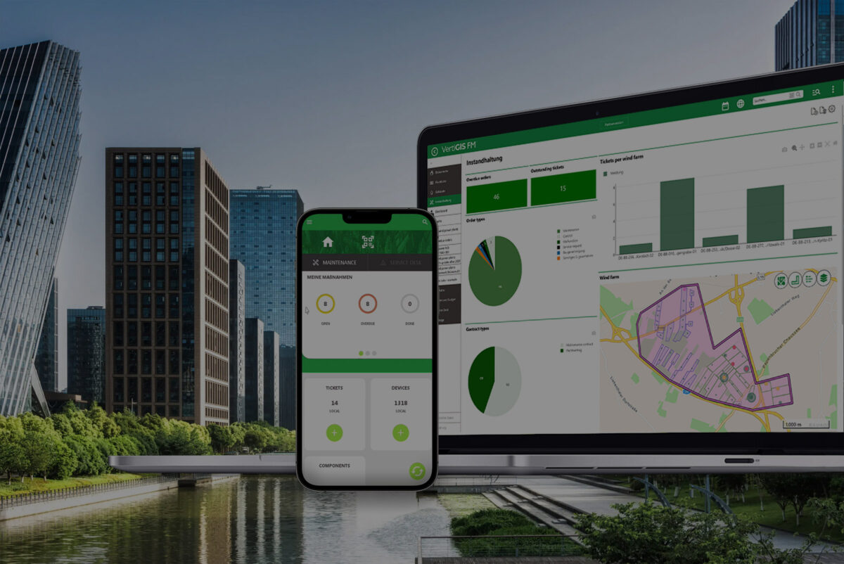
Related Story
Scaling Your Operations with Cloud-First GIS Solutions
Written by Drew Millen Chief Technology Officer at VertiGIS . . How modern organizations are balancing scalability, security, and flexibility in their transition to cloud-based geospatial platforms, and how VertiGIS Read More
Ready to Harness the Power of Your Spatial Data?
Discover our software solutions
Our experts will help you solve your industry-specific challenges.
Tell us a little about yourself and we will be in touch with you soon!