



Efficient. Connected. Future-Ready.
Digital Transformation for Modern Government
BOOK A SOFTWARE DEMO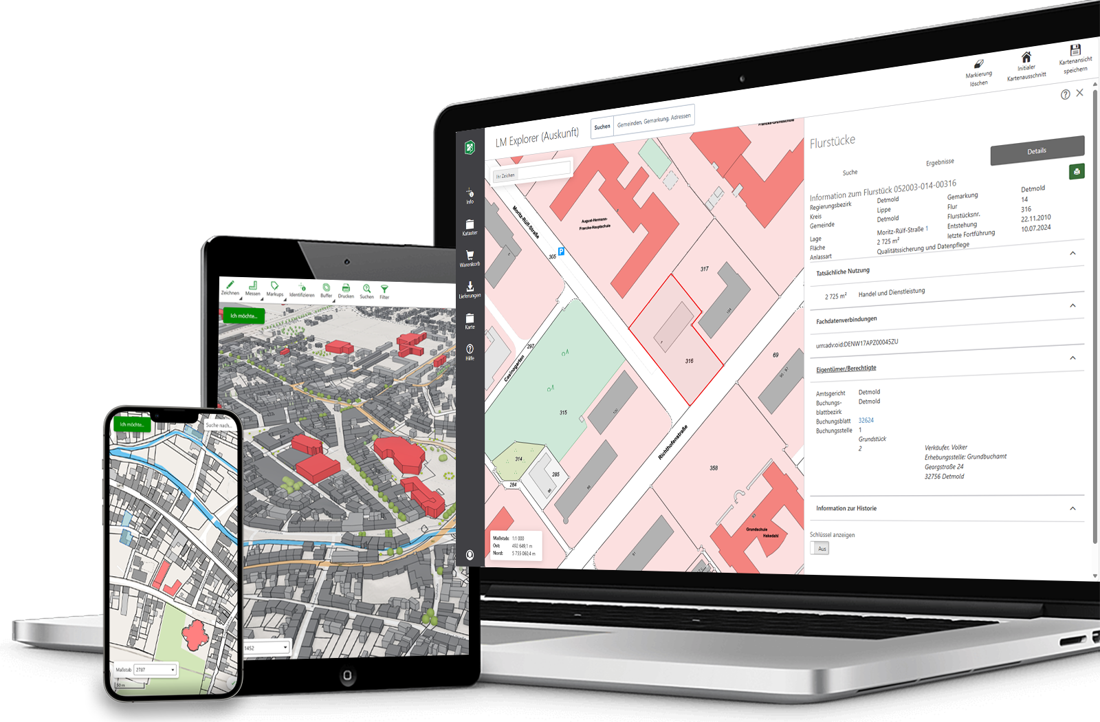
Benefits at a Glance
Greater visibility, better forecasts, and faster decisions based on interconnected data.
Digitize workflows seamlessly, reduce manual steps, and speed up approvals, information requests, and internal processes.
Provide information for citizens, policymakers, and employees in a centralized manner and enable transparent, data-driven decision-making.
Connect departments, field staff, and administration on a shared database to improve coordination and reduce duplication of effort.
Digital Solutions for a Wide Range of Administrative Tasks
The needs of public administrations range from citizen services to urban planning and facility management. Modern platforms consolidate information, standardize processes, and support data-driven decision-making.

- Manage Data Centrally and Securely
- Flexible operation in the cloud, on-premises, or in a hybrid environment
- Building Scalable Platforms
Request Prices & Demo

Manage official geodata efficiently, in compliance with the law, and on a centralized platform. Provide high-quality data for specialized procedures, information systems, planning tasks, and digital administrative processes.
-
Maintain authoritative geospatial data in one place
- Ensure data quality and accuracy
- Facilitate planning and communication
Explore VertiGIS Studio
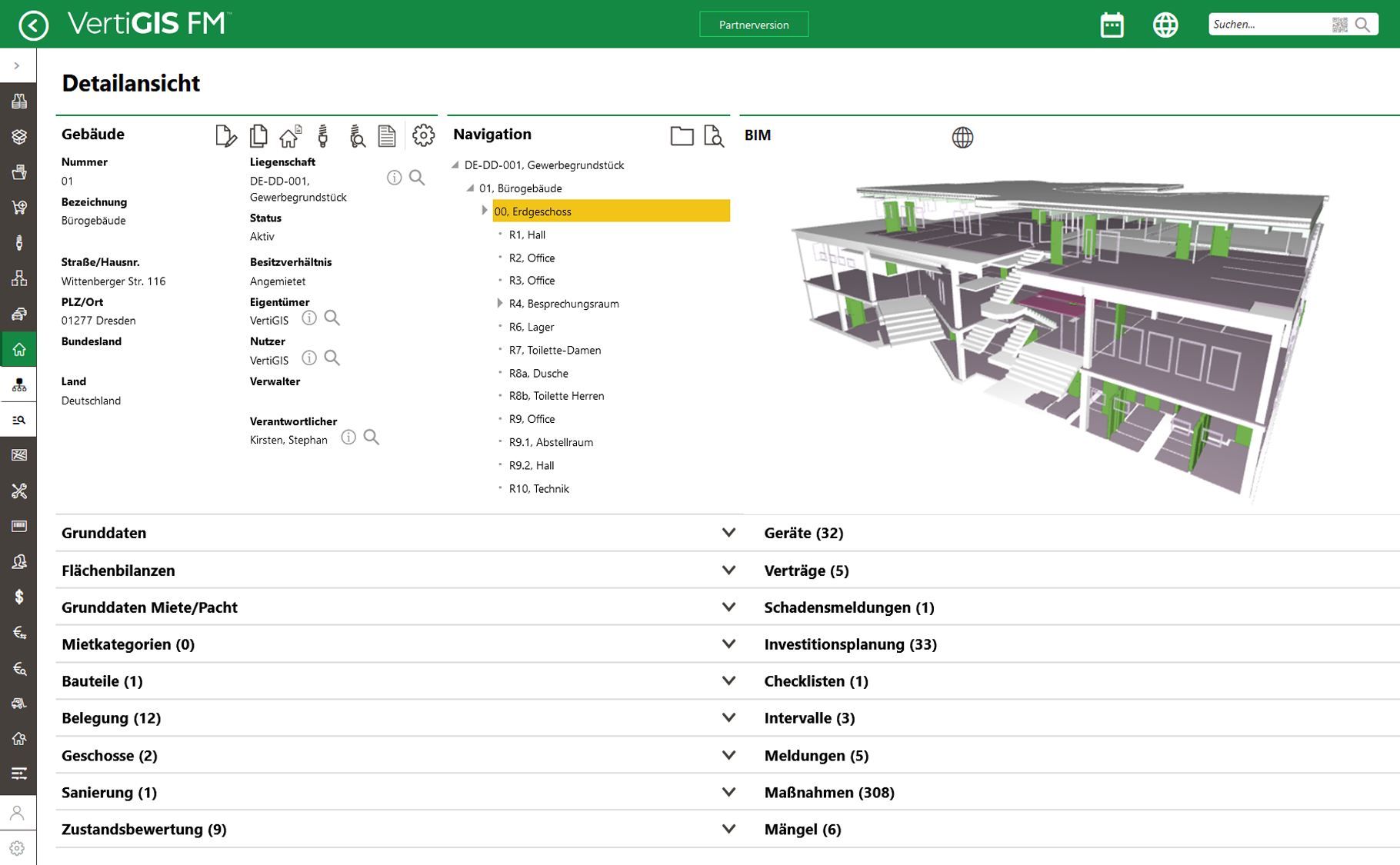
Manage properties, buildings, maintenance, and operator responsibilities centrally on a single platform. Keep track of ownership, costs, conditions, and actions at all times.
- Document compliance obligations reliably
- Coordinate maintenance centrally
- Optimize space and property management
Explore VertiGIS FM
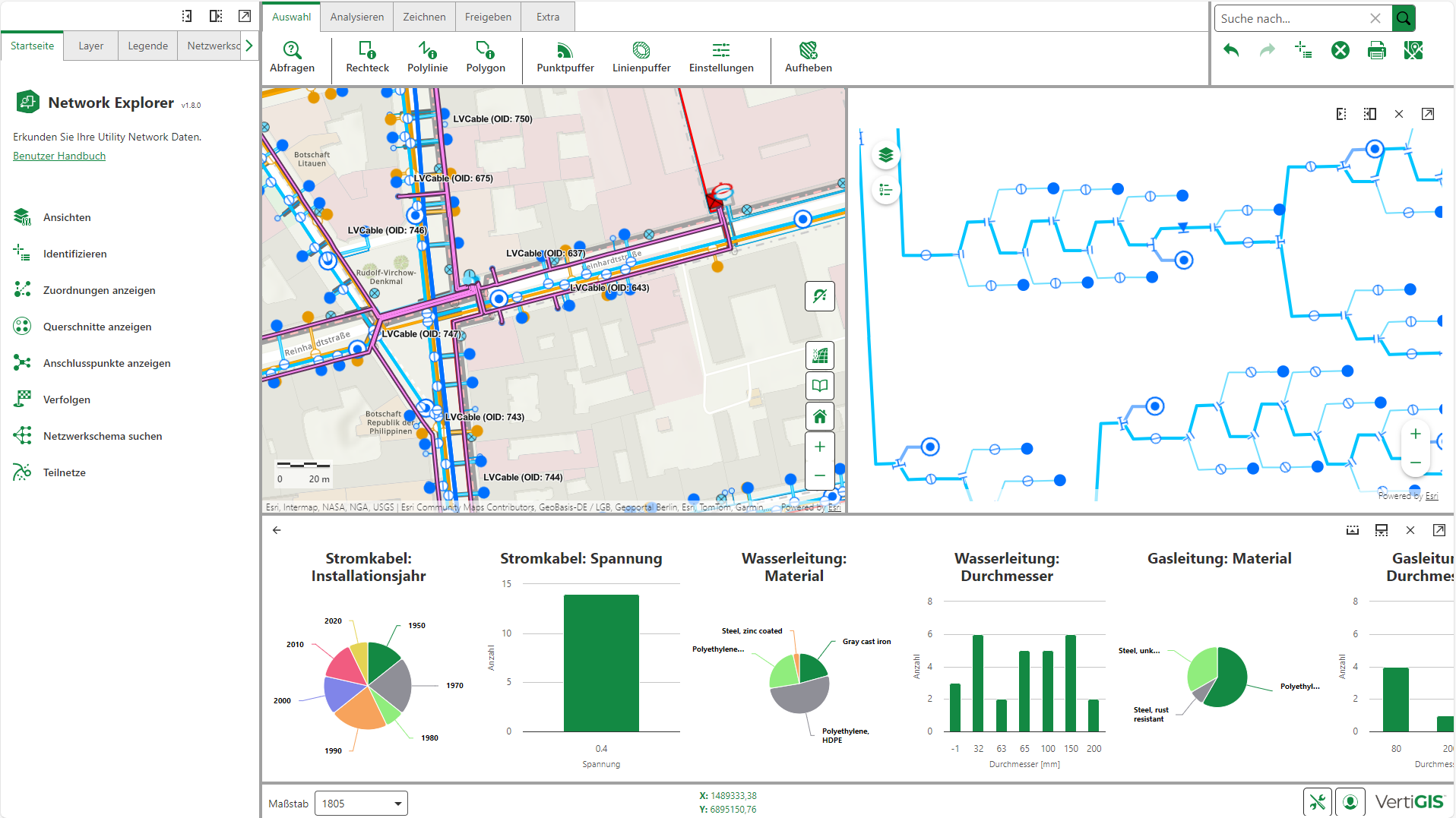
Ensure transparency regarding lines, systems, and technical equipment. With a centralized database, you can improve the planning, operation, and documentation of your network infrastructure.
- Keep an eye on network status at all times
- Speed Up Planning and Troubleshooting
- Effectively Manage Investments and Modernization Projects
Explore VertiGIS Networks

- Publish online city maps
- Deliver geospatial information in an accessible way
- Support digital public participation initiatives
Explore VertiGIS Studio
Why VertiGIS?
VertiGIS brings together cadastral, building, and infrastructure data on a single central platform, creating a reliable foundation for planning, operations, and management. This gives you greater transparency into your infrastructure, speeds up government procedures, and enables you to make better decisions.
Successful Together – Customer Stories












Building Successful Digital Government
Digital transformation doesn’t stop at citizen portals or specialized procedures. Successful government agencies connect processes, data, and employees to respond more quickly to needs and operate efficiently over the long term.
Intelligently Connecting Data
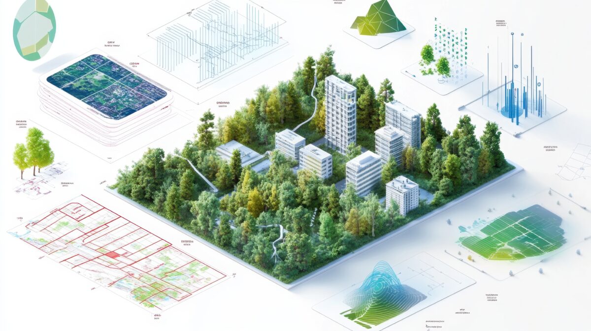
Integrate geospatial data, business applications, documents, and operational information into a shared information ecosystem.
- Consolidate data sources
- Break down information silos
- Improve data quality
- Connect departments efficiently

Manage Infrastructure Proactively
Use current asset and condition data to prioritize investments, minimize risks, and ensure long-term infrastructure sustainability.
- Monitor conditions transparently
- Prioritize investments strategically
- Identify risks early
- Improve maintenance planning

Empower Mobile Field Operations
Enable field staff to collect data on-site, document inspections digitally, and complete tasks without manual handoffs. Information becomes immediately available to all stakeholders.
- Document inspections digitally
- Capture data directly in the field
- Manage work orders electronically
- Access results in real time

Turn Data into a Strategic Asset
Unlock the value of existing administrative, infrastructure, and geospatial data and create the foundation for modern digital processes.
- Connect enterprise data sources
- Improve data quality sustainably
- Eliminate manual handoffs
- Preserve organizational knowledge
Ready to Harness the Power of Your Spatial Data?
Discover our software solutions
Our experts will help you solve your industry-specific challenges.
Tell us a little about yourself and we will be in touch with you soon!
FAQs
No. Depending on your requirements, VertiGIS solutions can be deployed in the cloud, on-premises, or as a hybrid solution. Together, we’ll choose the deployment model that best fits your security requirements, compliance standards, and IT strategy. You can continue to use your existing systems and data.
That depends on your needs. Whether it’s a spatial data infrastructure, land-use planning, digital twins, citizen portals, or building and property management: During a no-obligation consultation, we’ll analyze your current situation and show you the right solutions and product combinations.
Yes. VertiGIS solutions can be integrated into existing business processes, document management systems, ERP solutions, and GIS platforms. This allows organizations to continue leveraging their existing investments and to centrally link data.
No. Many government agencies start with a specific use case, such as a geoportal, digital land-use planning, or property management. Additional applications can be added gradually.
Yes. Solutions are available for public administration that support established standards such as XPlanung, as well as the management of AFIS, ALKIS, and ATKIS data.
The project duration depends on the scope and requirements. Individual applications can be deployed within a few weeks, while larger digitization projects are implemented in phases.
Yes. Mobile applications can be used to document conditions, perform inspections, and collect information directly on site. The data is then immediately available to all relevant departments.
Yes. Our solutions are used by smaller municipalities as well as cities, counties, and state agencies. The range of features can be customized to meet specific requirements.