


Connect assets, operational data, and
workflows in a digital twin
Digital Twins for Smart Infrastructure
BOOK A DEMO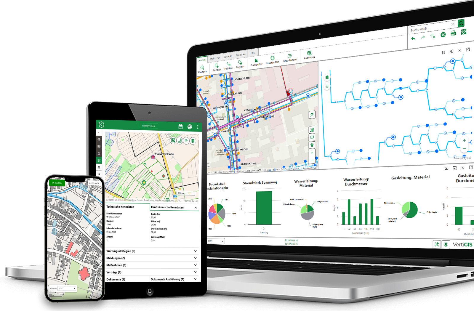
When information about GIS, ERP, CAD, IoT, and specialized systems is scattered across different systems, there is no unified view of facilities, networks, and processes. VertiGIS brings together relevant data in a spatial context. This allows you to monitor infrastructure transparently, understand changes, and take more informed action.
Digital Twins for Every Industry
Our software is used across a wide range of industries and enables organizations to develop intelligent, targeted solutions that are precisely tailored to their needs.
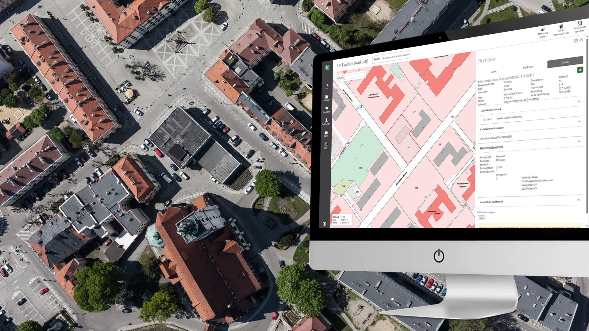
Consolidate data on buildings, streets, green spaces, the environment, and municipal infrastructure. Create a common foundation for planning, operations, and transparent communication.
- Land-Use and Urban Planning Based on a Shared Database
- Clearly visualize the effects of planned measures
- Proactively Planning Workflows for the Operation of Municipal Infrastructure
BOOK A DEMO
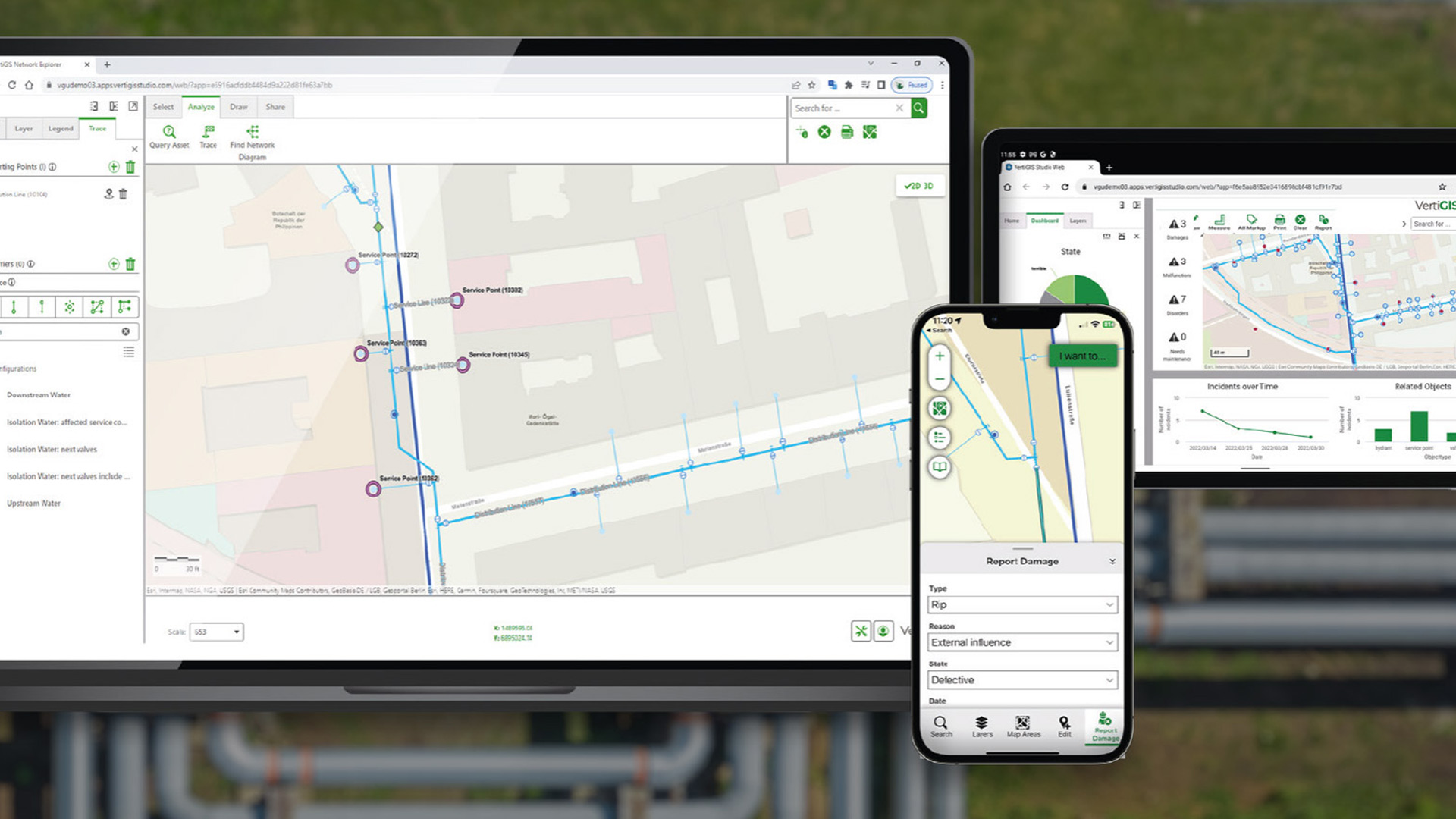
- Centralize the integration of networks, systems, and operational data
- Visually Representing Conditions, Malfunctions, and Actions in Space
- Improve Decisions Regarding Operations, Maintenance, and Expansion
BOOK A DEMO
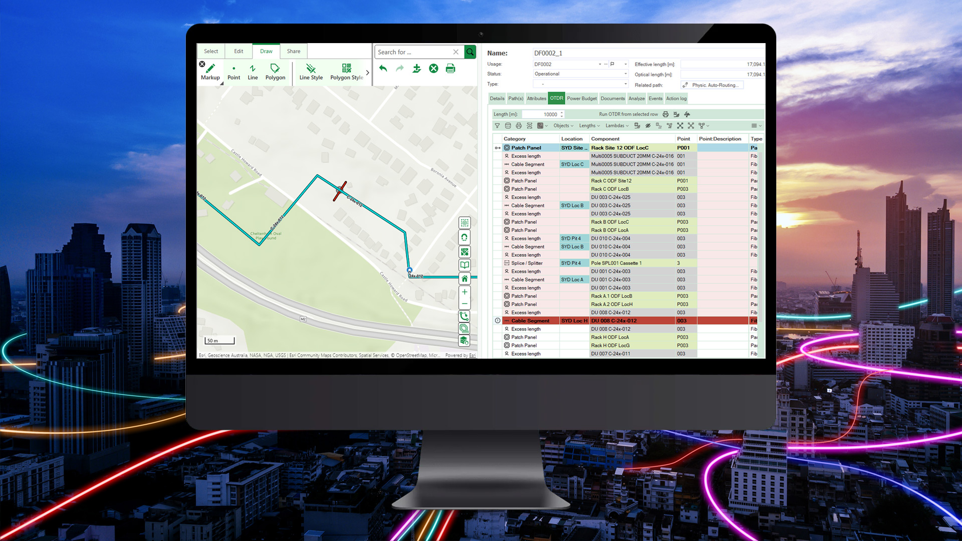
Create digital twins of fiber-optic, cellular, and communications networks, and link physical infrastructure to logical network structures. Gain a comprehensive view of capacities, dependencies, and the status of your network operations.
- Planning and Prioritizing Grid Expansion Efficiently
- Identify and analyze power grid disruptions more quickly
BOOK A DEMO
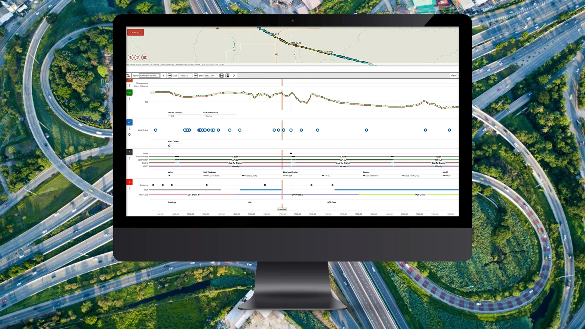
Create a digital twin of roads, railways, bridges, and technical facilities. Integrate condition data, operational information, and planned measures to strategically manage investments and ensure that infrastructure remains efficient over the long term.
- Monitoring Critical Infrastructure in a Geospatial Context
- Coordinate renovation and maintenance activities
- Assess the Risks and Impacts of Planned Interventions
BOOK A DEMO
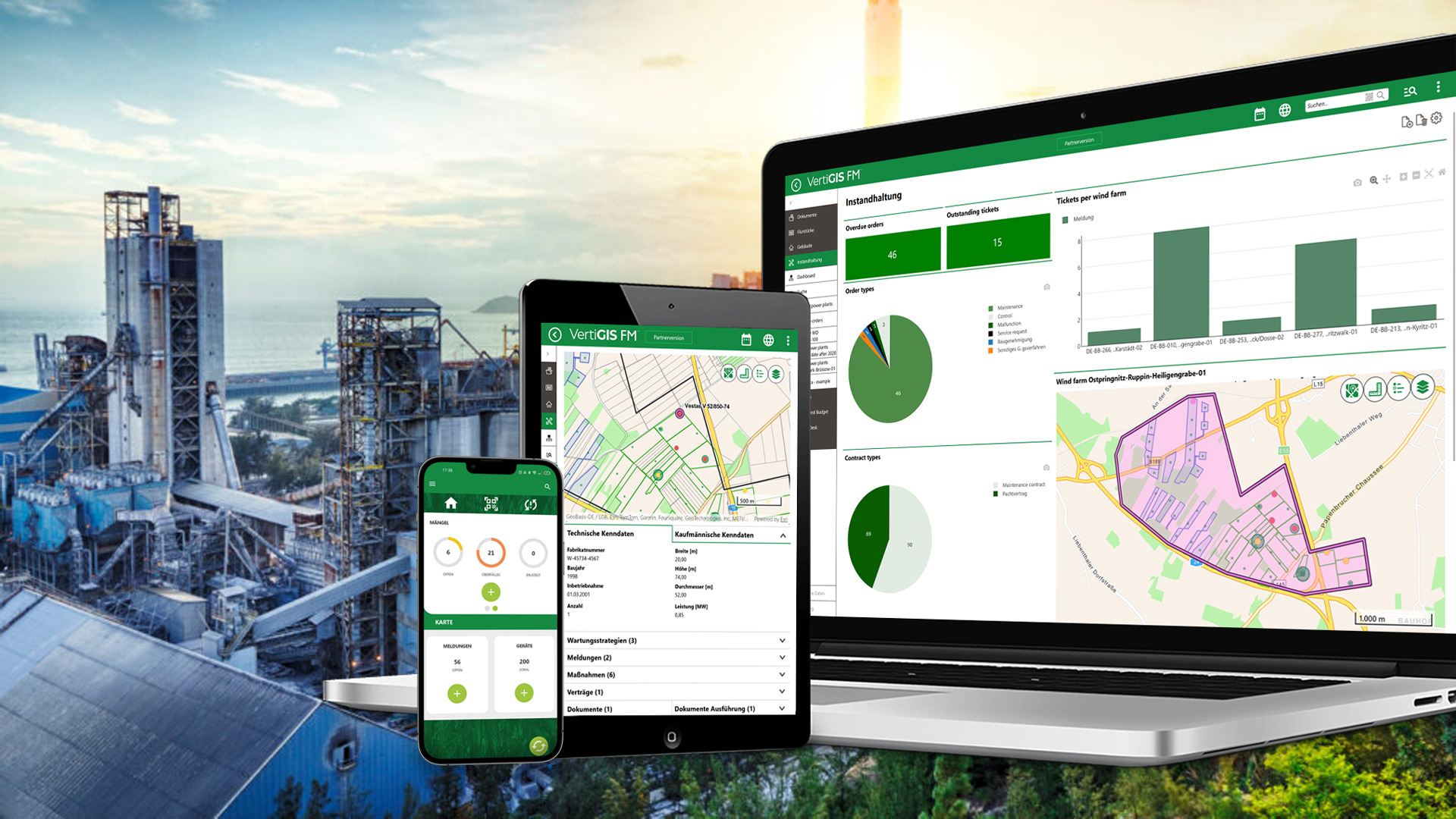
Create a digital twin of your plant site and integrate equipment, buildings, infrastructure, and operational processes into a single platform. Gain transparency into assets and processes, and improve collaboration.
- Presenting a Networked View of Production, Logistics, and Supply Infrastructure
- Make information about assets centrally available at any time
- Visualizing Changes and Dependencies in a Clear and Understandable Way
BOOK A DEMO
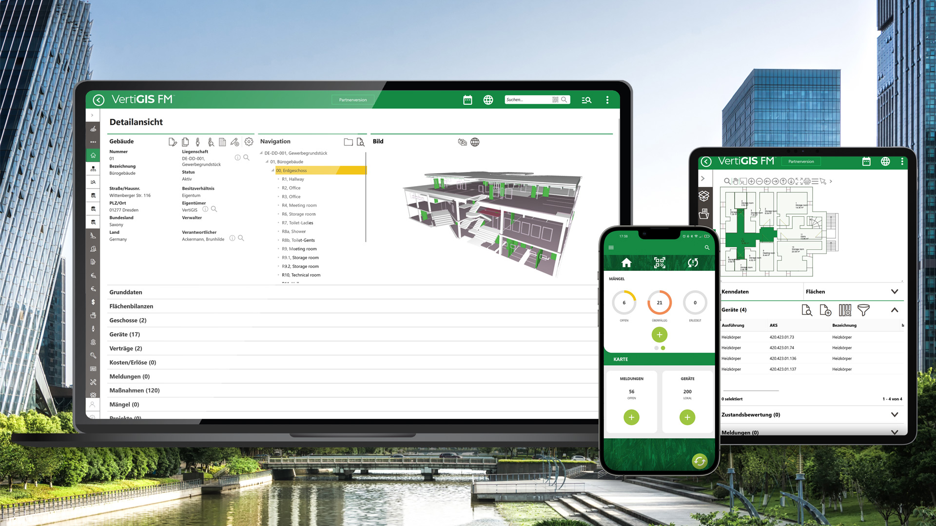
Create digital twins of buildings, sites, and technical facilities, and link them to recurring workflows. This will give you an overview of the use, utilization, and development of your real estate portfolio.
- Efficiently Plan and Manage Space
- Linking Leases and Contracts to Properties
- Centrally analyze and evaluate operational and consumption data
BOOK A DEMO
Benefits at a Glance
Greater visibility, better forecasts, and faster decisions based on interconnected data.
Consolidate spatial, technical, and operational information into a single, centralized view. All stakeholders have access to a consistent set of information.
Visualize states, dependencies, and trends in a spatial context. This makes risks, bottlenecks, and areas requiring action more quickly apparent.
Track status, changes, and actions across all phases. Centralized documentation creates transparency and supports informed decision-making for decades to come.
Link the digital twin to inspections, maintenance, and mobile workflows. Information is not only displayed but can also be used directly for operational tasks.
Why VertiGIS?
VertiGIS combines leading GIS technology with industry-specific solutions for infrastructure management. From asset management to digital twins and mobile workflows, you’ll receive a portfolio that grows with your needs and seamlessly complements your existing systems.
Successful Together – Customer Stories











From WebOffice to Studio: Configurable Searches at the Schwandorf District Office






Increasing efficiency and transparency: How WABCO is revolutionizing its maintenance processes


















Understanding Complex Infrastructure Digitally
Use distributed data to create a spatially interconnected, up-to-date, and actionable view of your infrastructure.

Connecting Data from Different Systems
Consolidate information from GIS, ERP, CAD, BIM, IoT, and other specialized applications. Existing systems remain usable, while the Digital Twin creates a unified view of real-world objects and processes.
- Link GIS, ERP, CAD, BIM, and IoT data
- Reduce duplicate data maintenance and conflicting information
- Continue to use existing specialized systems
- Consolidate technical, business, and spatial information

Visualizing Infrastructure in 2D and 3D
Display buildings, facilities, pipelines, networks, and surroundings on maps, plans, and in 3D scenes. This makes spatial relationships and complex structures easier to understand.
- Display assets on maps, plans, and in 3D scenes
- Identify relationships across locations, levels, and network structures
- Access attribute data directly from the digital object
- Intuitively explore complex infrastructure

Monitor Conditions and Track Changes
Enrich the digital model with up-to-date operational, condition, and sensor data. Histories and updates make trends traceable and support the early assessment of deviations.
- Analyze condition and operational data spatially
- Get an overview of upcoming and completed tasks
- Document changes and processing statuses
- Identify risks and anomalies more quickly

Simulate Scenarios and Plan Actions
Use the digital twin as a basis for comparing alternatives and evaluating their spatial impacts. This allows you to better prepare for expansion, maintenance, resource allocation, and investments.
- Compare planning alternatives transparently
- Evaluate the spatial impacts of changes
- Prioritize maintenance and investment needs
- Visualize and communicate decisions clearly
Ready to Harness the Power of Your Spatial Data?
Discover our software solutions
Our experts will help you solve your industry-specific challenges.
Tell us a little about yourself and we will be in touch with you soon!
FAQs
VertiGIS offers an integrated product portfolio designed to meet a variety of Digital Twin requirements. Depending on the use case, solutions such as network management, facility management, land management, mapping applications, mobile data collection, or workflow automation can be deployed. We’d be happy to discuss which components are best suited to your goals during a no-obligation consultation.
VertiGIS solutions can be deployed on-premises ( i.e., within your own IT environment), in the cloud, or in hybrid environments. The most suitable deployment model depends on your data protection requirements, IT strategy, existing systems, and operational processes.
Many customers also use hybrid scenarios in which, for example, data and line-of-business applications remain in their own data center, while selected services or applications are delivered from the cloud. This allows them to combine the flexibility of modern cloud technologies with their security and control requirements.
GIS establishes the spatial relationships between objects, facilities, networks, and events. This makes locations, dependencies, and impacts visible on maps, plans, or in 3D scenes. GIS serves as an important foundation for a digital twin, especially for extensive or interconnected infrastructure.
Yes. A digital twin is most beneficial when data from existing systems is consolidated. VertiGIS can integrate information from GIS, ERP, asset management, CAD, BIM, and other third-party systems into a single, unified view.
A digital twin integrates plants, infrastructure, and networks with status data, inspection reports, maintenance histories, fault reports, and work orders into a single, unified view. Managers can see at a glance where action is needed, which assets are particularly critical, and which measures should be prioritized.
By visualizing facilities and events on a map, maintenance work can be planned more effectively, field operations can be coordinated more efficiently, and information can be made available more quickly to both in-house and field staff. This speeds up decision-making, reduces downtime, and ensures that available resources are used more effectively.
A sensible approach begins with a clearly defined use case and measurable goals. Next, relevant data sources, data quality, interfaces, user groups, and security requirements are evaluated. A pilot project provides a solid foundation for gradual expansion.
Key requirements include consistent and up-to-date data, unambiguous object references, high-performance interfaces, and a scalable technical architecture. Equally important are clearly defined roles and access rights, so that all stakeholders can access the information relevant to them. For critical infrastructure, IT security, data protection, and compliance with regulatory requirements also play a central role.
The good news: Not all requirements need to be fully met from the start. Together, we’ll analyze your existing system landscape, data sources, and use cases, and use that information to develop a tailored digital twin strategy. In a no-obligation consultation, we’ll show you how to get started step by step and quickly realize the value of a digital twin.